Experts explain what unprecedented polar vortex breakdown means for UK weather
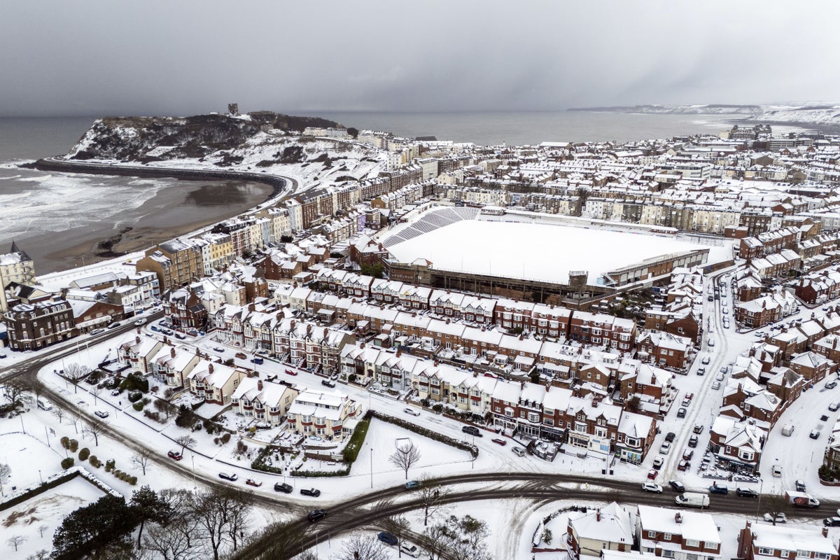
An early breakdown in the polar vortex could bring colder weather to the UK over the next few weeks, experts have warned.
Last week, the polar vortex weakened surprisingly early, which the Met Office described the event as “a highly unusual disruption”.
The phenomenon occurs when the vortex – a ring of winds about 30km above the earth that keeps cold air trapped above the Arctic, – weakens, allowing the cold air to flow south. Previous instances have led to events such as the Beast from the East in 2018.
In 2026, the process – also referred to as a sudden stratospheric warming (SSW) – has taken place at the earliest time on record, according to Dr Simon Lee, a lecturer in atmospheric science at the University of St Andrews.
“This is the earliest we’ve observed a sudden stratospheric warming since they were discovered in the 1950s,” Dr Lee told The Independent.
“Normally, these events occur mostly in January or February, about once every other winter. However, this year’s event isn’t related to climate change. Climate models show that such an extremely early-season breakdown has long been possible – it’s just extremely unlikely in any given year.”
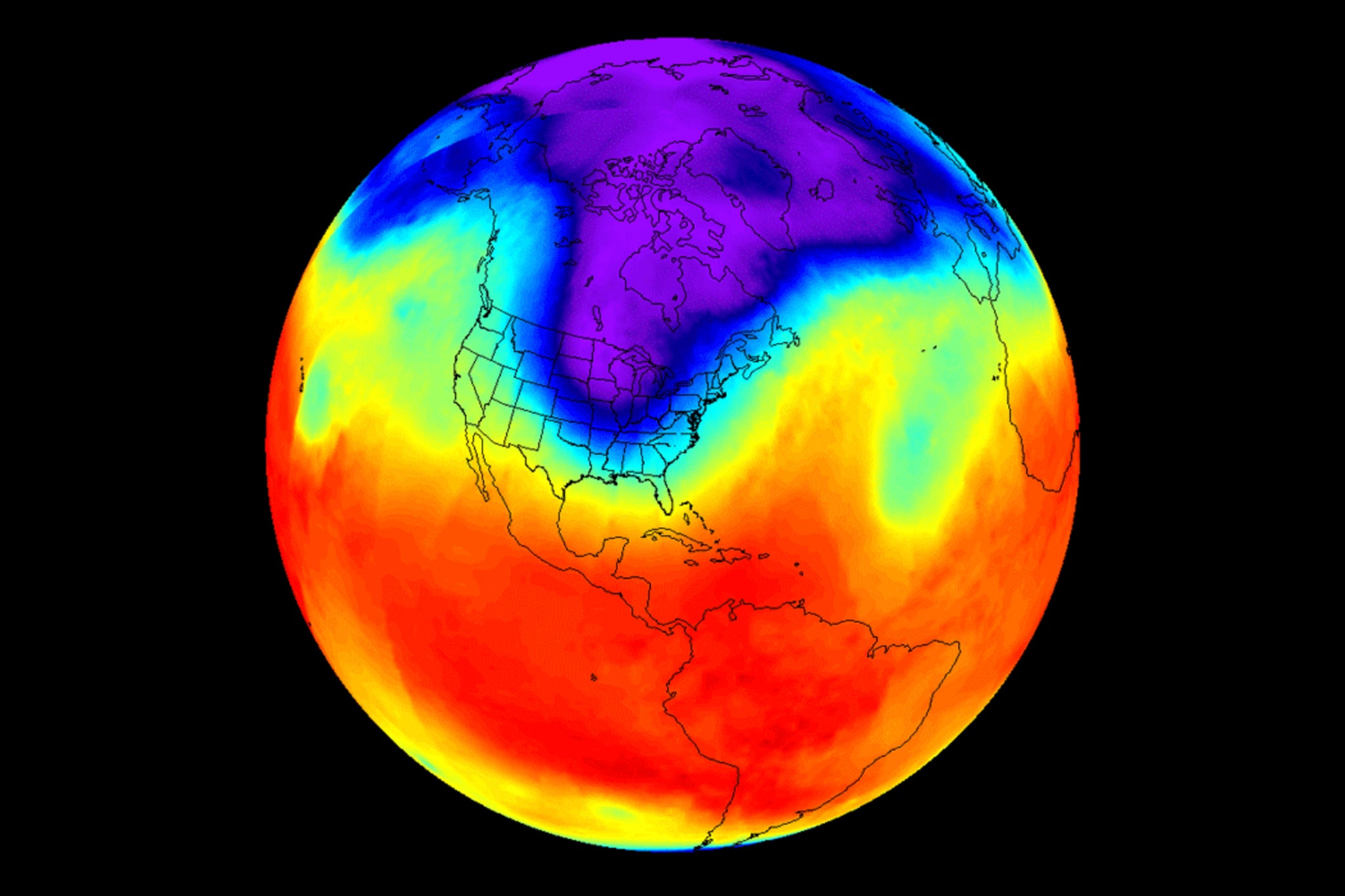
Meteorologists and climate scientists are currently monitoring to see whether this year’s record-breaking El Niño effect in the Pacific is responsible for the unprecedented weakening in the vortex.
Met Office meteorologist, Aidan McGivern, said: “El Niño is basically enhancing the waves that go on in the troposphere, the wriggly jet stream. Those waves can then propagate upwards into the stratosphere, knocking, bumping and disturbing that circle of winds around the polar stratosphere, causing it to be displaced, pushed off the pole, deformed or even split.”
What does it mean for the weather?
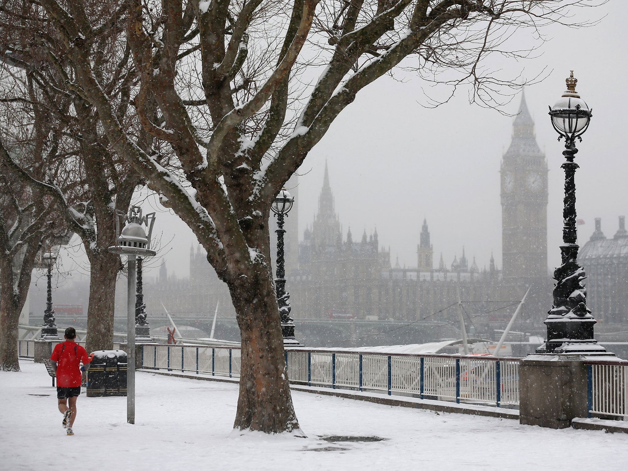
While previous instances of a polar vortex breakdown have led to extreme cold spates in the UK, this is not guaranteed. A weakened vortex increases the probability of colder conditions but is not a reliable forecast on its own as other atmospheric patterns can reinforce or counteract the effect.
Dr Lee explained: “SSWs increase the chances of colder-than-average weather in the UK for about a month or so afterwards, as they increase the likelihood of the jet stream shifting southwards. This pattern can also bring drier conditions to Scotland and sometimes wetter conditions to southern England. However, climate change – due to burning fossil fuels – means that the cold conditions that often occur after SSWs have been rapidly diminishing in intensity.”
He added that the SSW didn’t necessarily mean the UK could expect snow: “Of course, with colder than average conditions comes an increased risk of snow, but this is not guaranteed.”
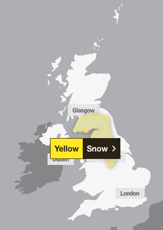
The Met Office issued a yellow snow warning on Tuesday across the east and west Midlands, north east and west of England including Yorkshire and the Humber, as well as south west Scotland and Strathclyde.
The forecaster warned that snow may cause travel disruption over higher ground early on Tuesday, with the warning ending at 11am. It remains unclear whether this flurry of snow is linked to the SSW.
Andrew Charlton-Perez, professor of meteorology at the University of Reading, told The Independent that he expected this SSW event to have an impact for 30-40 days with a shift towards colder conditions.
“Sub-seasonal predictions are cooler than average for the next week but there isn’t a clear signal beyond that,” he said.
The current long range forecast by the Met Office for 20-29 November suggests a “changeable pattern is likely during this period with Atlantic frontal systems spreading across the UK” with rain and strong winds moving across the country, with cooler, drier interludes between systems. Snow is possible further north, while the south and west can expect rainfall. Temperatures are expected to remain normal for this time of the year.
Going into December, temperatures up north are expected to be colder than normal, the forecaster suggests, with drier conditions when compared to the persistent rainfall expected across the south of the UK.
The Met Office said last week that it was monitoring the sudden weakening in the vortex closely and any disruption would be short-lived, with the vortex returning closer to its average state as December approaches.
The forecaster revealed that pressure was building to the west and northwest of the UK, with winds arriving from the north, drawing in colder Arctic maritime air.
“This colder air is also drier than the relatively mild and moist air responsible for the recent fog,” the forecaster said. “As a result, widespread dense fog becomes less likely, although some mist or isolated fog patches remain possible. Skies will often be clearer, allowing temperatures to fall more quickly overnight.”
Frost is also expected to be a more widespread issue, with a risk of icy surfaces where showers occur. Wintry showers are possible around northern and eastern coasts, while some snow may fall over the higher ground of Scotland.
KioskNews shows a cleaned-up reading view extracted from the publisher’s page — the original always lives on their site, not ours.