Odisha’s coastal erosion: What’s being done to save lives, livelihoods
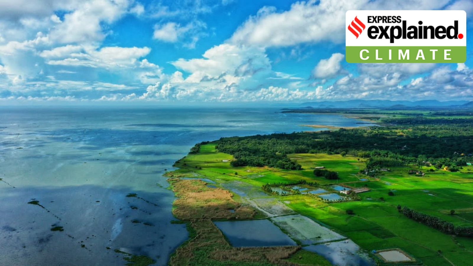
Approximately 28.3% of Odisha's coastline is undergoing erosion, 17.6% remains stable (no significant shoreline change), and 54.1% is experiencing accretion or growth. Photo: Wikimedia Commons
Union Minister for Ports, Shipping and Waterways Sarbananda Sonowal, in a recent reply tabled in Rajya Sabha, said that about 28% of Odisha’s 564-km coastline is undergoing erosion. This is based on a study by the National Centre for Coastal Research (NCCR), which carried out a comprehensive assessment and mapping of shoreline change analysis along the Odisha coast for the period 1990-2022. The NCCR monitors long-term shoreline changes across the Indian coastline.
Citing the NCCR study, Sonowal said approximately 28.3% of the coastline is undergoing erosion, 17.6% remains stable (no significant shoreline change), and 54.1% is experiencing accretion or growth. His reply came in response to a query by Rajya Sabha member from Odisha, Sasmit Patra.
We explain what shoreline change is, the extent of such change along the Odisha coast, and the measures taken to protect vulnerable areas.
Shoreline change in Odisha
Shoreline changes refer to the dynamic process where the boundary between land and water shifts over time owing to natural forces like waves, tides, storms, and human activities like port construction, unplanned infrastructure development, and sand mining. Factors like global sea-level rise also contribute to coastal erosion and shoreline change.
According to a 2021 piece “Shoreline Change Along Odisha Coast” published in the Journal of Earth System Science, coastal structures such as sea walls, breakwaters, and jetties result in modification of the shoreline and beach morphology. The effects are even more significant with hard structures raised for the development of ports and harbours. Besides, natural hazards such as tsunamis and cyclone storms along the India coast, too, result in drastic changes. The paper said that as things stand, Odisha is most prone to cyclones.
At least six coastal districts in Odisha — Ganjam, Puri, Jagatsinghpur, Kendrapada, Bhadrak, and Balasore — are facing coastal erosion and shoreline changes. As per the NCCR study, Jagatsinghpur has emerged as the most erosion-prone, with 47.6% of its total 55.8-km coastline facing erosion. It is followed by Ganjam (45.7% of 60.18-km shoreline affected), and Kendrapara (45% of 149.36 km-shoreline affected). Among other coastal districts, erosion has affected 23.8% of Balasore’s 88-km coastline, 10.2% of Puri’s 138-km coastline, and 4.6% of Bhadrak’s 72-km coastline.
The NCCR has also identified several areas along the coast as “vulnerable stretches” based on long-term shoreline analysis. These include the region north of Gopalpur Port and Mayurpada to Bhramarabadi in Ganjam district; Hetamundia, Hukitola, Pentha to Satbhaya, Satabhaya to Gahirmatha in Kendrapara district; Kusupur to Sahadabedi, Sahadabedi to Jatadhartanda in Jagatsinghpur district; and either side of Chilka sea mouth, Keutajanga, south of Devi river mouth in Puri district.
Story continues below this ad
Similarly, Amarnagar in Bhadrak and Bagda, Chaumukh, Narayan Mohanty Padia, Bindhapadmapur to Talsari in Balasore district are also identified as vulnerable stretches for coastal erosion.
Impact, and measures taken
Official sources in Odisha’s Forest, Environment and Climate Change Department said rising sea level and coastal erosion owing to climate change has already submerged as many as 16 villages in Kendrapara district, displacing several hundreds of people. The affected villagers lost not just their land but also their livelihood. The Odisha government has developed a resettlement colony, touted as India’s first climate resettlement colony, to accommodate the people hit by coastal erosion.
Similarly, Podampeta in Ganjam, once a village of nearly 500 households, has been deserted as the marauding Bay of Bengal swept inland. Several other settlements in the district, too, have been affected, forcing people to leave their homes. Several other coastal villages in Ganjam such as Ramayapatna have also been witnessing the advancing of the sea advancing towards the landmass, rendering residents homeless.
Department officials said that to protect coastal villages from sea erosion, steps are being taken such as developing a geotextile tube embankment at Pentha village in Kendrapara. A geotextile tube is a large, cylindrical container made from high-strength, porous synthetic fabrics (such as polypropylene) and filled with a sand slurry, to form an artificial coastal structure. These tubes, which are used to form sea walls, generally absorb the impact of waves when they hit the shore and help minimise erosion.
Story continues below this ad
Similarly, sea wall-cum-serving roads are being developed at Udaipur-Talsari, Chandrabali-Kirtania, Chaulati-Kasatal, Chandipur-Parikhi, Kalamatia Pahi, and Talapada beach in Balasore district and Ramayapatna beach in Ganjam district. These roads are dual-purpose coastal structures: while the outer tier acts as a defensive barrier against strong tidal waves and coastal erosion, the inner tier operates as an operational roadway or service path for local transport and public access.
KioskNews shows a cleaned-up reading view extracted from the publisher’s page — the original always lives on their site, not ours.