Weekend storm brings season’s first widespread freeze to millions across U.S.
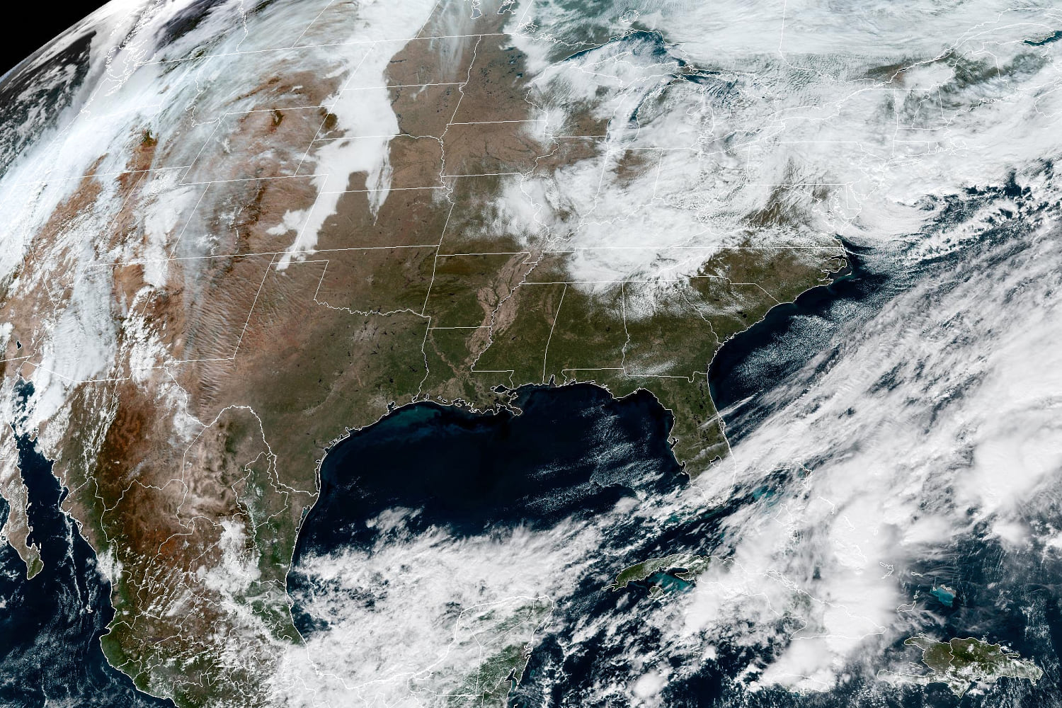
A departing storm brought more than a foot of snow to parts of New York State on Friday, while this weekend the nation will see its first widespread freeze event of the season.
As of Friday morning in New York, 12.5 inches of snow had fallen in Hartwick, 12 inches in Burlington, 11.5 inches in Exeter Center and 10 inches in Cherry Valley. Multiple locations in the Catskills region of the state saw 3 to 7 inches of snow.
The morning’s wet snow will gradually taper off throughout the day, as rounds of rain were expected to impact the I-95 corridor from Philadelphia to New York.
Some minor coastal flooding was also possible in New Jersey along the Jersey Shore and up toward Cape May.
This storm will head out to sea Saturday, but cold northerly winds behind it will create lake-effect snow, rain showers and light snow across the Adirondacks, Berkshires, and Green and White Mountains in the Northeast.
The first big freeze
Another storm this weekend will bring the first below-freezing temperatures to millions around the country. Chicago will see wind chill temperatures on Saturday and Sunday of 24 and 27 degrees, with New York seeing 34 and 40 degrees, Atlanta seeing 31 and 32 degrees and Tallahassee, Florida, seeing 35 and 32 degree wind chill temperatures.
Frost and freeze alerts are in effect from eastern Oklahoma to the coastal Carolinas, stretching as far south as southern Alabama. Some of the cities under the frost and freeze alerts include Tulsa, Oklahoma; Little Rock, Arkansas; Birmingham, Alabama; Atlanta, Georgia, and Raleigh, North Carolina.
Parade of Pacific Storms
Meanwhile, on the West Coast, a storm on Friday coming in off the Pacific will bring heavy rain from northern Washington to southern California as heavy snow blankets the Sierra Nevada mountain range.
For southern California, some isolated thunderstorms are possible, including for the Los Angeles metro area.
Through Saturday, rainfall amounts will be up to 3 inches from northern California to southwestern Oregon.
For the Sierra Nevada mountains, snowfall amounts will be as high as 12-18 inches above 6,000 feet elevation.
The active pattern will continue through the weekend, with the next storm system set to come into the Pacific Northwest Saturday night through Sunday.
Heavy rain for South Texas
On Sunday, Southeast Texas into western Louisiana will see heavy rain capable of producing some urban flooding.
Rainfall amounts will generally be 1-2 inches, but there could be some localized areas along the southeast Texas coast that could see 3-5 inches. The cities of Houston, Galveston, Beaumont, and Lake Charles could be impacted.
A few strong storms capable of damaging winds will also be possible for southeastern Texas on Sunday, stretching from Beaumont to Brownsville.
KioskNews shows a cleaned-up reading view extracted from the publisher’s page — the original always lives on their site, not ours.