Ho Chi Minh City unveils tower design for multi-level interchange linking roads to seaports, Long Thanh airport

A twisting tower will rise among elevated roadways, interspersed with ponds and green spaces, in a proposed interchange connecting Ho Chi Minh City's major seaports, industrial areas and regional transport corridors.

The interchange is part of the Cat Lai–Phu Huu port access road project, a nearly 6-km road designed primarily for freight transport, connecting the port complex directly to major highways.
It would link Tan Cang-Cat Lai Terminal, Vietnam's busiest container port, with Ring Road No.3 and HCMC – Long Thanh – Dau Giay Expressway, a connection to the upcoming mega airport Long Thanh. It will also run to Phu Huu Port that is 3 km from Cat Lai.
Following a design competition, HCMC approved the architectural proposal developed by a HCMC-based consortium of B.R Design Consultancy and HAS Architecture. The plan includes an overpass along the main route and an interchange connecting the three major roads.

The interchange will feature elevated ramps and underpasses linking traffic to and from Cat Lai–Phu Huu ports to the ports of An Phu to the city's east, Tan Van to its north, as well as Nhon Trach and Long Thanh ports in Dong Nai City.
The project is expected to improve freight access to the ports and ease pressure on urban roads in the eastern part of the city.


The interchange's signature tower will rise between the elevated roadways, narrowing at the middle with surfaces that turn to create a subtle twisting effect.
The design aims to establish a distinctive landmark for the interchange and the eastern gateway to HCMC.

The project includes a six-lane bridge design, elevated roadways, and multiple canal crossings. These elevated structures aim to minimize traffic conflicts at intersections below.
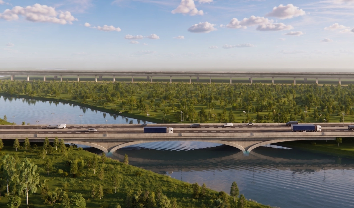
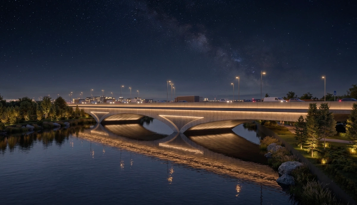
Along the port access road, the bridge supports will feature arch-shaped structures that widen outward beneath the deck. Paired with continuous concrete barriers, these curved elements give the infrastructure a sleek, flowing aesthetic.
Under-bridge lighting will highlight the architectural curves and reflect off the water below. Along the banks, trees and decorative rocks will seamlessly integrate the infrastructure with the natural landscape.
Drawing on local waterways and greenery, designers placed large green spaces, ponds, and gardens between the bridge ramps.
Landscaped traffic islands will direct vehicles while softening the massive structure of the multi-level interchange.

Slender light poles casting warm yellow light, combined with dark metal railings, will add visual accents to the road at night.

Some sections will have frontage roads below and ramps connecting to the elevated roadways to serve residents living along the route. This arrangement will separate traffic on the elevated roads from vehicles traveling below.

Some sections will have frontage roads below and ramps connecting to the elevated roadways to serve residents living along the route. This arrangement will separate traffic on the elevated roads from vehicles traveling below.
Some sections will have frontage roads below and ramps connecting to the elevated roadways to serve residents living along the route. This arrangement will separate traffic on the elevated roads from vehicles traveling below.

The Cat Lai–Phu Huu port access road will launch from Nguyen Thi Dinh Street near Truong Van Bang Street. A traffic-light junction will manage the initial phase before a separate project builds an overpass or underpass.
Authorities are also studying an expansion for the six-lane Nguyen Thi Dinh Street, currently the sole port access route.
Targeting a 2028 completion, the new road will link the port to the interregional network, cutting traffic jams and accidents in the surrounding area.
KioskNews shows a cleaned-up reading view extracted from the publisher’s page — the original always lives on their site, not ours.