GNSS Vs GPS: What's the difference?
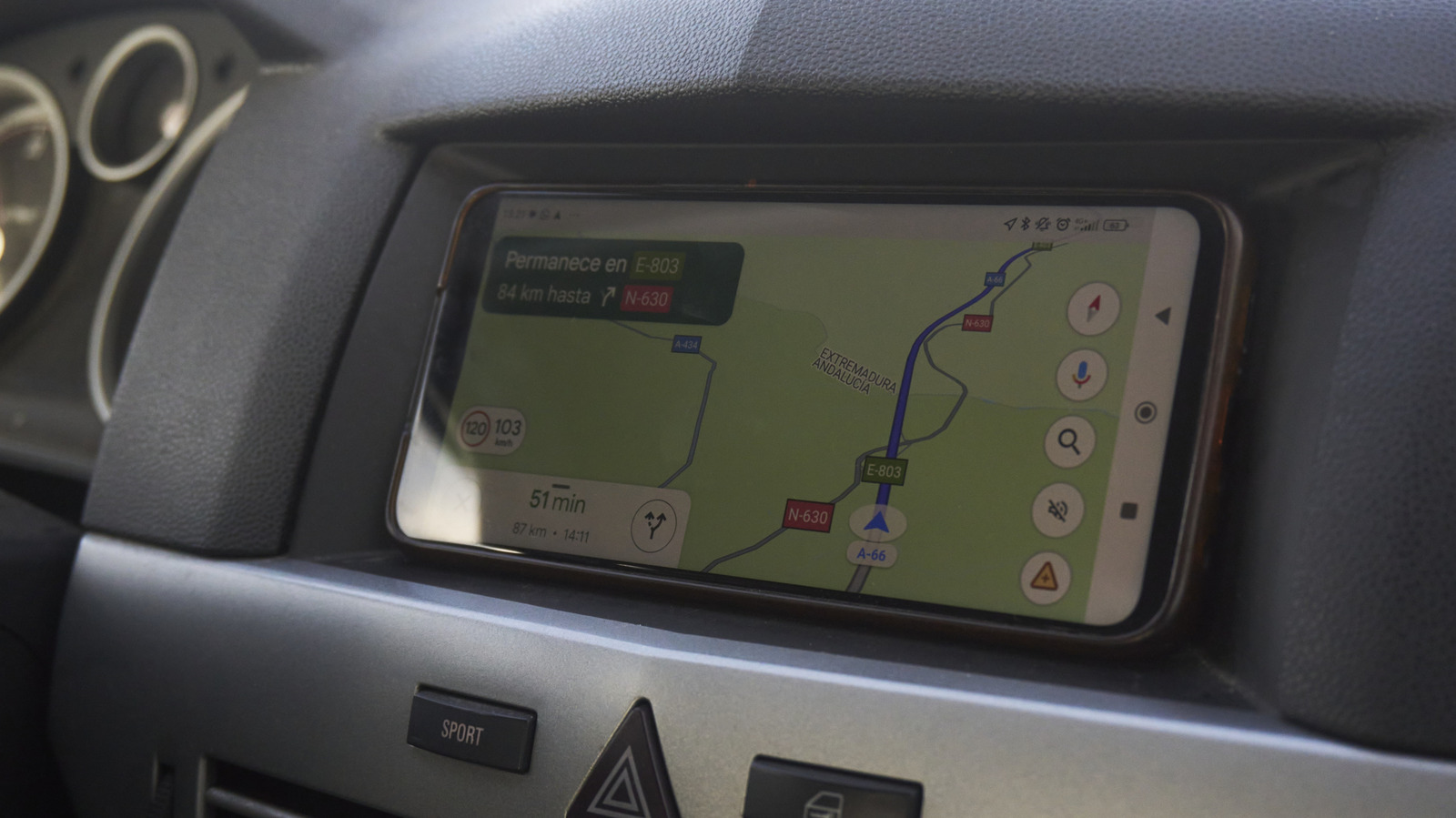
Your phone likely uses more than GPS to figure out where you are
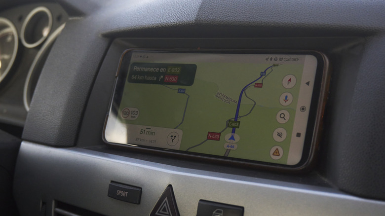
Raquel Alvarez Tabernero/Shutterstock
In a casual conversation, you could maybe get away with using the acronyms GPS and GNSS interchangeably. The two are closely related, in the same way that an iPhone is a type of smartphone. GNSS stands for Global Navigation Satellite System, a broad term for any satellite navigation system, including GPS. NASA describes it as providing "autonomous geospatial positioning" because, of course, they do. The most important takeaway is that GPS, as familiar as it is to everyone, is merely a type of GNSS, specifically the United States' satellite navigation system.
It doesn't end there. Other major GNSS constellations include Russia's GLONASS, the European Union's Galileo, India's NavIC and China's BeiDou. Japan's QZSS supplements navigation systems in its region. Everyone has their own thing, it seems, though these systems aren't restricted to their own countries. For instance, GPS works around the world, as do the systems run by Russia, the EU and China. The names are just indicative of who operates them, not where a smartphone can use them.
People often use "GPS" as a catch-all for any satellite-based location service because GPS simply became the most well-known term. So, if you're looking at a spec sheet for a device and it describes this device as GNSS-capable, it could mean that the device can use more than just US GPS satellites.
Your phone usually uses GNSS, even if it says GPS
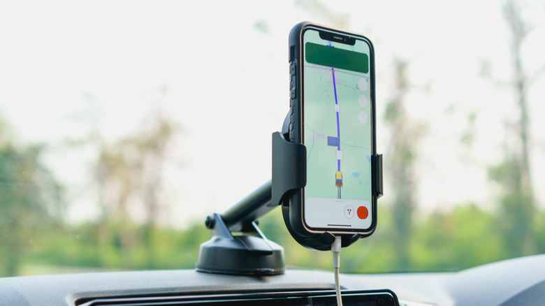
Pattikky/Shutterstock
This is the case for most modern smartphones. Again, GPS is just the most familiar acronym, but your phone's location chip is probably a multi-constellation GNSS receiver. More satellite access means more reliable positioning, especially in areas where buildings, lots of trees and terrain block signals.
A primary example is Apple. The iPhone 17 lists "precision dual-frequency GPS" but then specifies support for all of the above. On top of that, your phone probably uses more than GNSS. Android's Location Accuracy service is a mix of satellite data and nearby Wi-Fi networks, along with cell phone towers and built-in motion sensors.
The interesting part is that all those tools typically sit beneath the GPS umbrella. Of course, keeping things simple while you're trying to fight your way through a traffic nightmare is probably a good thing.
Does Google Maps use GPS or GNSS?
Alex Photo Stock/Shutterstock
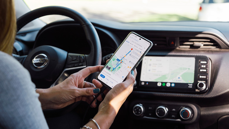
Google uses GPS or other GNSS systems, on top of the location info available on your phone. The Google Maps app relies on map data delivered via internet access, while your phone uses Wi-Fi and cellular signals to make little refinements here and there, especially when satellite reception is shaky. This is why Google Maps can often locate you while you're standing in the middle of a grocery store. As controversial as Flock cameras are, most people have a pretty accurate location mapper right there with them at all times.
For navigation apps and location services, satellites play a role in a larger system, with wireless network data and sensor data constantly filling in the gaps. You may notice that when you leave the grocery store or whatever building you're in at the time, it takes an extra second or two to update your position. That's your phone taking an extra moment to reacquire and verify satellite signals.
At the end of the day, GPS remains the most familiar and commonly used term wherever you may travel. But GNSS is the more accurate term for the tech in smartphones, cars, drones and navigation devices in general. GPS is America's slice of the larger worldwide pie. Just keep in mind that most devices use a bit of everything.
KioskNews shows a cleaned-up reading view extracted from the publisher’s page — the original always lives on their site, not ours.