Ho Chi Minh City warns of severe flooding as high tides peak at 1.85 m
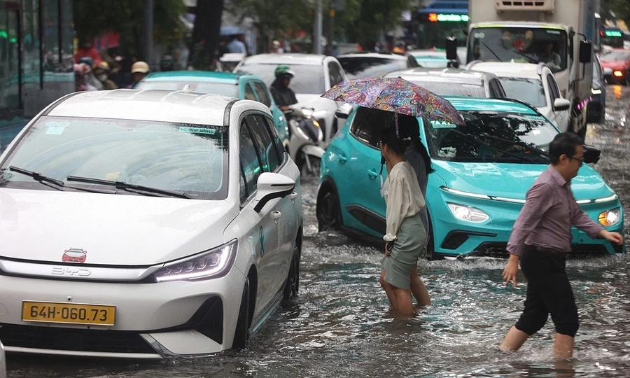
Ho Chi Minh City is forecast to experience high tides of 1.6 to 1.85 meters from Sept. 28 to 30, exceeding a Level 3 alert, the highest and most critical warning in Vietnam's river flood warning system.
Heavy rain combined with rising tides during the afternoon and evening could cause severe flooding in low-lying areas and along rivers and canals across the city.
The Southern Regional Hydro-Meteorological Center announced on Sept. 27 that water levels at most monitoring stations will continue to rise over the next few days before gradually receding.
 |
|
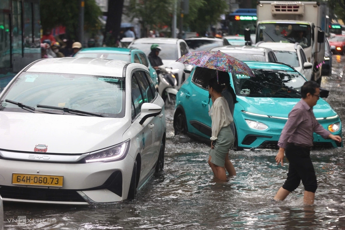
People wade through floodwaters on Pasteur Street near the Ton That Thiep intersection and on Nam Ky Khoi Nghia Street in central Ho Chi Minh City on Sept. 23, 2026 following heavy rain. Photo by VnExpress/Quynh Tran |
The current high-tide cycle will peak daily between 6 a.m. and 8 a.m., and again from 5 p.m. to 7 p.m., through Sept. 30.
At the Phu An Station in the city's central area and the Nha Be Station near the southern Phu My Hung residential area, peak water levels could reach 1.6 to 1.65 m, slightly surpassing the Level 3 alert threshold.
At the Thu Dau Mot Station in the former Binh Duong Province, the peak could reach 1.75 to 1.85 m, exceeding the Level 3 alert by up to 0.25 m.
The weather agency warned that the combined impact of heavy downpours and tidal surges will directly disrupt traffic and daily life.
Residents are advised to prepare for possible deep flooding, limit travel through flood-prone areas, and closely monitor weather forecasts to respond promptly.
KioskNews shows a cleaned-up reading view extracted from the publisher’s page — the original always lives on their site, not ours.