Southwest monsoon retreats from parts of northwest India; earliest withdrawal from Delhi since 2002
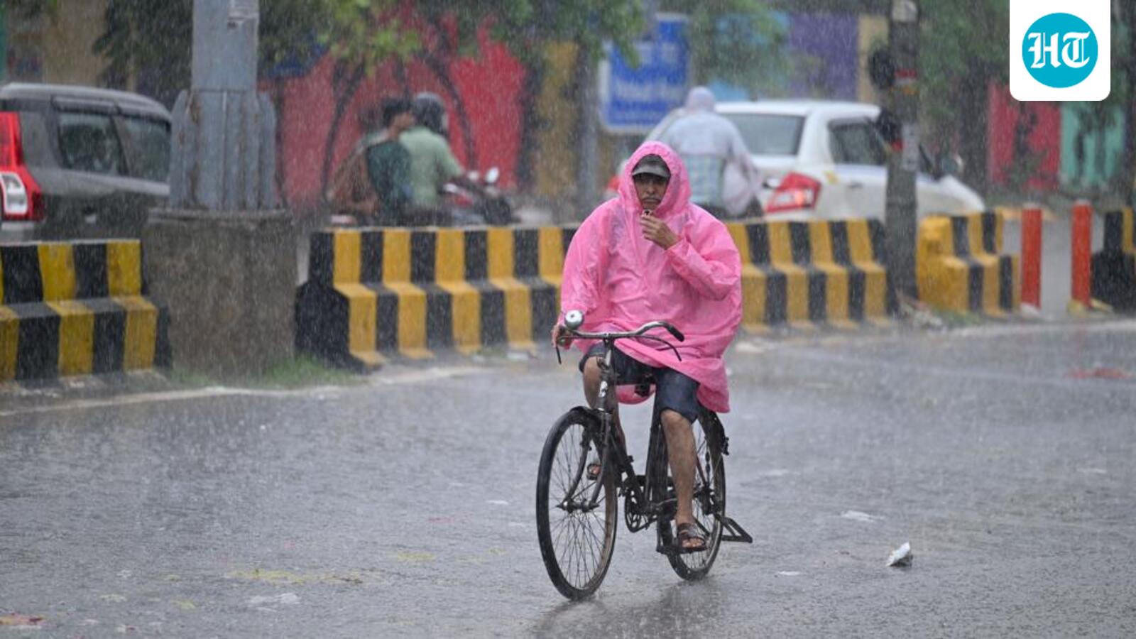
The southwest monsoon withdrew from parts of northwest India on Wednesday, including the national capital, where it has withdrawn two days before its normal date of September 25. This was also the earliest withdrawal of the monsoon from Delhi since 2002, when it occurred on September 20, India Meteorological Department (IMD) data showed. Last year too, Delhi witnessed an early retreat, on September 24.
“The southwest monsoon has further withdrawn from most parts of Punjab, Haryana, Rajasthan, entire Delhi, some parts of Uttar Pradesh and Gujarat today – the 23rd September, 2026,” the IMD said in a statement on Tuesday. This year, withdrawal from west Rajasthan commenced two days late, on September 19 as opposed to the normal date of September 17.
The all-India monsoon rainfall stood at a 15% deficit as on September 22, with the country having received 706.9mm – against a normal of 832.4mm for the period June 1-September 22. The withdrawal takes place, even as a deep depression over the Bay of Bengal continues to move westwards and should impact Andhra Pradesh and Odisha with intense showers locally.
Also Read:Monsoon departs from Delhi in earliest withdrawal since 2002
“The deep depression over west-central and adjoining northwest Bay of Bengal, moved westwards with a speed of 5 km/hr during the past six hours, and lay centred at 8.30am as on September 23, 2026. It is very likely to move west-northwestwards, and cross north Andhra Pradesh - south Odisha coasts between Vishakhapatnam & Gopalpur, close to Kalingapatnam as a deep depression by the night of September 23,” the IMD said on Wednesday morning.
Region wise deficit stood highest in east and northeast India (-27%), followed closely by the south peninsula region (-26%). It is -6% in central India and -10% across northwest India. The IMD said the line of withdrawal was passing through Gurdaspur, Chandigarh, Muzaffarnagar, Aligarh, Dholpur, Udaipur, Deesa and Naliya on Wednesday.
Also Read:Chandigarh: With 15% rain deficit, monsoon withdrawal likely in three days
Overall, for the Union territory as a whole, Delhi received an average of 562.7mm since June 1 – 6% higher than the normal of 532.3mm. If only Safdarjung was considered – Delhi’s base station for weather, it has logged 728.6mm in monsoon rainfall since June 1 – an excess of nearly 14% over the normal of 640.4mm.
State wise data shows the deficit is however alarming in large parts of the country – particularly in northwest India, northeast and southern India. It stood at -40% for Punjab till September 22. It was -24% for Haryana and -21% in Rajasthan.
Across east and northeast India, the states impacted by a poor monsoon, include Bihar (-37%), Assam (-26%), Arunachal Pradesh (-42%), Manipur (-43%) and it was a large-deficient of -60% in Meghalaya. In southern India, key states impacted include Karnataka (-30%), Telangana (-21%), Andhra Pradesh (-38%) and Kerala (-27%).
Mahesh Palawat, vice president at Skymet said northwest India, including Delhi had already begun to see dry northwesterly winds, however, the deep depression over the Bay of Bengal may impact northwest India. “Wind direction may change to easterly and Delhi and its surrounding region can possibly see some rain around September 26 and 27,” he said.
The monsoon has largely been impacted by a strengthening El Nino. On September 3, the World Meteorological Organisation (WMO) said the El Niño firmly established and will intensify into a ‘very strong’ event in the coming months, with significant impacts on rainfall and temperature patterns likely alongside associated risks of floods, drought and extreme heat.
WMO’s forecasts showed a near 100% likelihood that it will persist through February 2027. For India, this may translate to a milder winter with reduced rains for Rabi crops, experts had said.
The IMD on August 31 issued its forecast for September and said below normal rainfall (<91% of long period average (LPA)) was likely this month.
The forecast came a fortnight after the private weather forecaster Skymet Weather on August 17 issued a revised forecast for the southwest monsoon season. It said the monsoon rainfall should be 85% of the long period average (LPA), with a 70% probability of drought. In its initial forecast issued in April, Skymet forecast the monsoon to be 94% of the LPA.
The IMD in its April forecast said the monsoon was likely to be 92% below the LPA this year. However, in its June outlook, it revised this forecast downward — from 92% to 90% — and attached a 60% probability to a deficient season.
KioskNews shows a cleaned-up reading view extracted from the publisher’s page — the original always lives on their site, not ours.