How ISRO’s new satellite could restore India’s regional GPS alternative
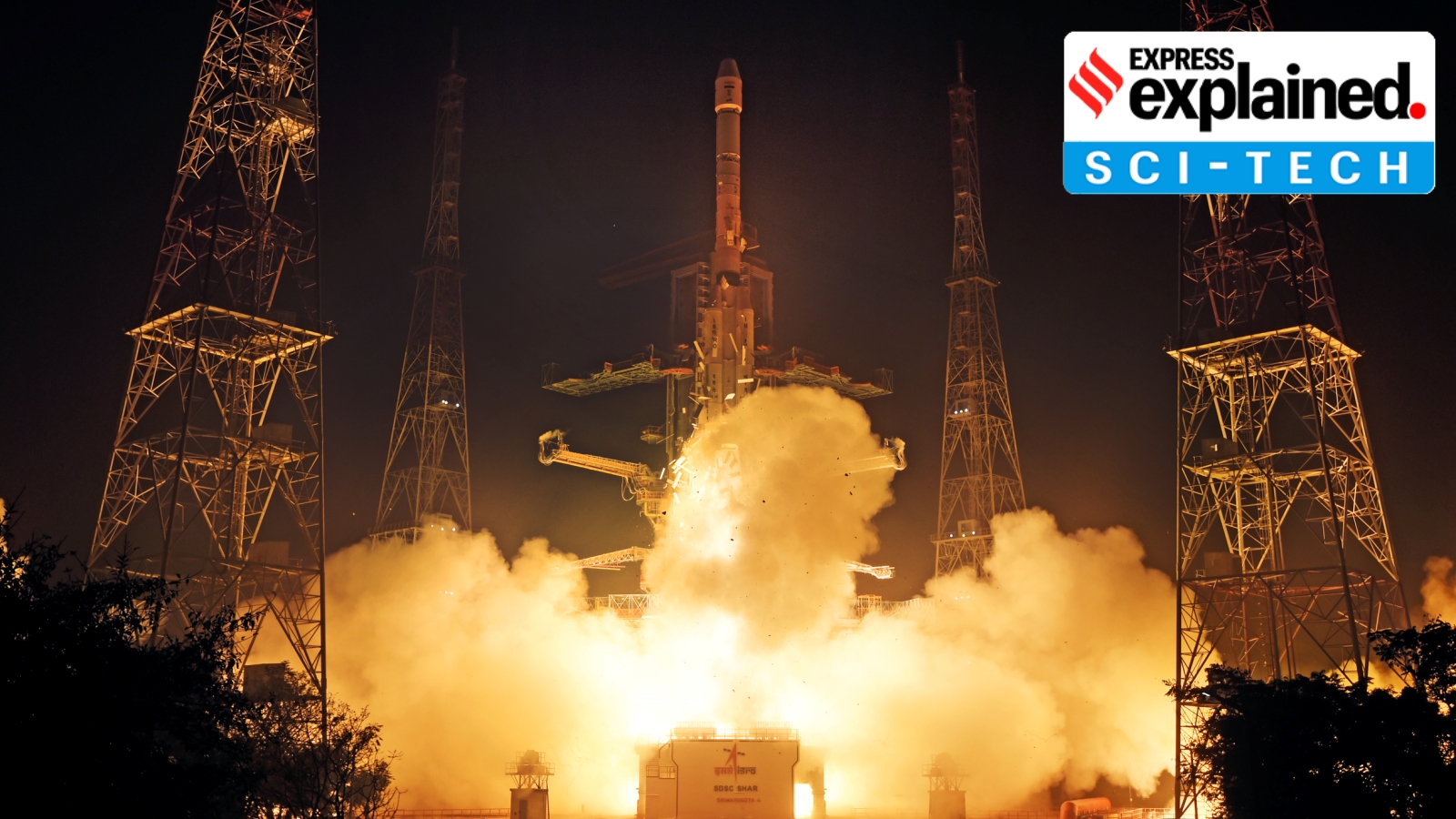
The Indian Space Research Organisation (ISRO) is slated to launch the much-awaited NVS-03 — its third new-generation navigation satellite — on October 30. The satellite is likely to restore the functioning of India’s satellite-based positioning system, NavIC, which had stopped providing location data after the end of life and failure of atomic clocks, and recent failed launches of its satellites.
The new satellite, whose launch has been in the pipeline since late 2025 but has been delayed by multiple factors, will help the NavIC system meet the minimum requirement of four operational satellites to provide positioning data again. We explain what NavIC is, the issues it has faced in the past, and how it compares with other satellite-based navigation systems.
What is NavIC?
NavIC, which stands for Navigation with Indian Constellation, is the operational name for the Indian Regional Navigation Satellite System (IRNSS). A seven-satellite constellation that covers the Indian subcontinent and a region up to 1,500 km around it, NavIC is a regional satellite-based navigation system similar to the US’s Global Positioning System (GPS).
With all seven satellites functional, the system was designed to provide location accurately up to 10 metres, which would be open to the public. A more accurate restrictive service would also be available for a fee to select users, such as those undertaking massive construction projects or the military. Incidentally, the space agency started work on NavIC in 1999 after the Kargil war, where Indian defence forces could not use the US-owned GPS system to provide locational aid to its soldiers in conflict zones.
The system, when functional, can provide better coverage over the Indian landmass compared with the GPS, whose signals are received in India at an angle that makes it difficult to access in certain areas such as valleys and forests.
A full-fledged NavIC system can help achieve the government’s goal of real-time tracking of around 12,000 trains, with around 8,700 trains already equipped with the system.
Why did the NavIC system stop working?
The NavIC system has had a choppy track record. Although ISRO has launched 11 navigation satellites since July 2013 for the nearly Rs 2,250-crore system, six satellites have failed primarily because of defective imported atomic clocks and, on a few recent occasions, owing to orbital issues.
Story continues below this ad
Earlier this year, the Central government had admitted that the constellation was no longer providing positioning data. “…[P]resently the NavIC constellation has three satellites for providing PNT (Positioning, Navigation, Timing) services — IRNSS-1B, IRNSS-1I and NVS-01. To provide basic positioning service, minimum four operational satellites are required in orbit. Hence, the NavIC constellation cannot provide standalone positioning service, however timing service is functional,” it told Parliament.
The first satellite, IRNSS-1A, was launched in 2013 — with three other satellites mandatorily needed for providing positioning data placed in orbit by 2015. Yet, a 2018 report by the Comptroller and Auditor General of India said that the development of the consumer-end receivers — which can be used by devices such as cell phones to access location data — began only in 2017. By then, several years of the mission life of the satellites had been wasted.
To provide positioning data, a navigation satellite uses atomic clocks to precisely measure the time it takes for a signal to travel to and from an object on Earth. But the atomic clocks on some of the initial satellites failed, rendering them ineffective.
Two replacement satellites — for the ones whose atomic clocks had malfunctioned or whose mission life had come to an end — also failed to reach orbit. First, IRNSS-1H couldn’t be placed in orbit by ISRO’s dependable Polar Satellite Launch Vehicle, as the shield protecting the satellite from heat generated owing to atmospheric friction failed to open up. Then, the second-generation satellite, NVS-02, was precisely launched into a highly elliptical transfer orbit, but its propulsion system failed to perform the manoeuvres required to get into the final orbit.
Story continues below this ad
Also, the mission life of 10 years has come to a close for most of the constellation’s initial satellites.
What are the changes that have been made?
A review committee found that the main reason for the failure of NVS-02 was a signal not reaching the pyro valve of the oxidiser line of the engine — meaning, the engine could not be ignited. This, the committee felt, was most likely because of the disengagement of at least one of the contacts to the connector, that is, the circuit to deliver the signal couldn’t be completed.
Since then, more thorough checks have been conducted to ensure that the satellite’s propulsion system doesn’t fail, according to persons familiar with the matter.
The second generation of navigation satellites, commencing with NVS-01, carry indigenously developed atomic clocks with a longer mission life of 12 years. Importantly, they send signals in a third frequency, L1, besides the L5 and S frequency signals that the existing satellites provide. This improves interoperability with other positioning systems, as L1 frequency is most commonly used by GPS. This band also helps in using the NavIC data in wearable devices such as smartwatches that use low-power, single-frequency chips.
How does NavIC compare with other navigation systems?
Story continues below this ad
India is the only country with a regional navigation system. Japan, whose four-satellite Quasi-Zenith Satellite System augments GPS signals in the Asia-Oceania region, has all its satellites in high orbits just like NavIC.
There are four global navigation systems. GPS, the most popular one, uses around 32 satellites, whereas the Russian GLONASS (GLObalnaya NAvigatsionnaya Sputnikovaya Sistema) uses 24, the European Galileo 27, and the Chinese Beidou 30.
Other than Beidou, all the constellations use satellites in middle-earth orbit (at an altitude between 19,000 and 24,000 km). Beidou uses a combination of satellites in middle earth as well as higher altitudes.
In the past, there have been discussions about increasing the coverage area of India’s IRNSS.
KioskNews shows a cleaned-up reading view extracted from the publisher’s page — the original always lives on their site, not ours.