Widespread rain forecast through Oct 25
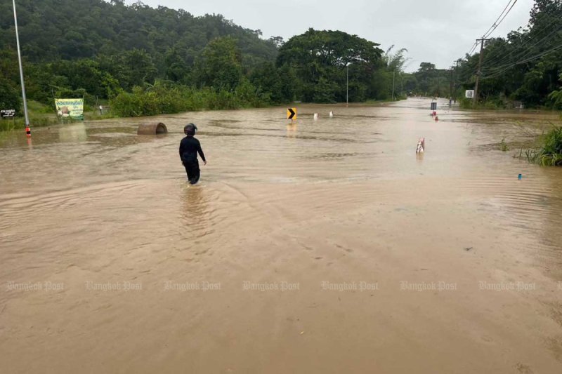
Heavy to very heavy rain is forecast across Thailand through to Oct 25, raising the risk of flash floods, runoff and landslides, the Meteorological Department warned on Sunday.
Continuous rain, with heavy to very heavy downpours in some areas, is expected in the South and East from Sunday to Tuesday.
After that, until Sunday, rainfall is forecast to intensify across the lower Northeast, Central region including Bangkok and surrounding provinces, the East and upper South, with heavy to very heavy rain and gusty winds in some areas.
People in affected areas are advised to watch for accumulated rainfall that could cause flash floods, overflows and landslides, particularly in low-lying areas and along waterways near foothills. Motorists should avoid routes prone to flooding.
The conditions are being driven initially by a monsoon trough across the lower South and the southwest monsoon over the lower Andaman Sea. The trough is expected to move north over the central South as a high-pressure system from China extends over the upper North, upper Northeast and South China Sea.
Waves in the Andaman Sea and Gulf of Thailand could exceed three metres during thunderstorms. All vessels are advised to proceed with caution and avoid stormy areas.
KioskNews shows a cleaned-up reading view extracted from the publisher’s page — the original always lives on their site, not ours.