Warning of thunderstorms to roll in over Brisbane for days
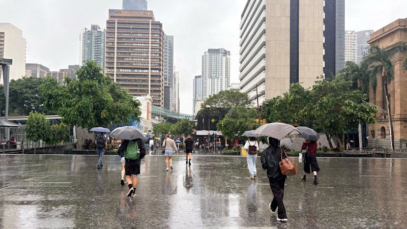
Brisbane is in for a week of humid, rainy weather with a chance of thunderstorms.
Wet weather was expected to roll in over the Queensland capital on Wednesday, according to the Bureau of Meteorology.
“It’s looking like another unsettled and stormy day across the city,” senior meteorologist Jonathan How said.
He said while Wednesday morning was overcast, it was expected to get “quite warm and quite humid pretty quickly during the late morning”, with thunderstorms developing from the middle of the day.
“The main sort of focus point for us will be the possibility of severe thunderstorms throughout the afternoon and evening, pretty much the entire south-east Queensland today,” How said.
Storms and showers were expected in some capacity over the next seven days, though Wednesday was anticipated to be the most significant.
“Today’s storms could bring damaging winds, pockets of heavy rainfall, and large hail,” How said.
“It really will depend on whether the storms do form and how they move.
“Once we see those storms forming, we’ll get a better idea of how they’re tracking, so which suburbs will be at risk for day to day will become a bit clearer.”
There was a risk of further showers and thunderstorms on Thursday, as well as the potential for damaging winds, hail and heavy rain.
Friday was expected to be more mild, followed by more widespread storms returning to the south-east on Saturday and Sunday.
Sunday could bring the most rain, and the stormy weather was expected to clear up from mid-next week.
“That’s when we see some dryer air pushing across the south of our state,” How said.
With the anticipated rainfall comes the risk of flash flooding, given grounds were still fairly wet across the city.
“The rain today will certainly wet the soil and start to increase the water levels around,” How said.
Even 20 to 30 millimetres could be enough to cause flash flooding in areas that were already wet, he said.
“Certainly, if we get back to back days of storms over the same area, that will just increase the flash flooding risk.
“Most severe storms do bring the risk of some heavy rainfall, and when there is a warning of heavy rainfall, it’s normally accompanied by a flash flooding warning.”
Start the day with a summary of the day’s most important and interesting stories, analysis and insights. Sign up for our Morning Edition newsletter.
KioskNews shows a cleaned-up reading view extracted from the publisher’s page — the original always lives on their site, not ours.