Thunderstorms and giant hail on the cards for south-east
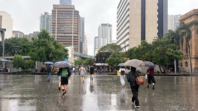
South-east Queensland is on alert for dangerous storms bringing giant hail and destructive winds from about midday on Monday.
Parts of the region were awoken through the early hours of Monday morning with thunderstorm activity and heavy rain, and inland and coastal areas recorded between 10 and 30 millimetres of rain.
Storm activity would be “much more intense” as the day progressed, the Bureau of Meteorology said, and people should prepare for a change in the weather from about midday.
“New thunderstorms are likely all across south-east Queensland,” meteorologist Robert Urbaniak said.
“They might even be very dangerous storms, which means giant hail greater than five centimetres, dense rainfall and destructive winds greater than 125km/phr, which is obviously really big.”
Current mapping showed thunderstorms would likely form west of Brisbane about midday, and track east until about 5pm.
The risk of hail and strong winds dropped off after 5pm, but heavy rainfall could continue until about 9pm.
“The overall ballpark rain figures are between five and 50 millimetres, which is a big range,” Urbaniak said.
“It’s just showing that the thunderstorms will be hit-and-miss … but you will probably get a few isolated locations getting over 100 millimetres.
“By the early hours of tomorrow morning, all of that thunderstorm activity should have cleared off.”
As of 9am, severe thunderstorm warnings were not in place for the south-east, but the Bureau said activity was likely to develop throughout the morning, and alerts would be issued as conditions changed.
Start the day with a summary of the day’s most important and interesting stories, analysis and insights. Sign up for our Morning Edition newsletter.
KioskNews shows a cleaned-up reading view extracted from the publisher’s page — the original always lives on their site, not ours.