Super El Nino Behind Delhi's Sudden Rain? Expert Explains Weather Whiplash
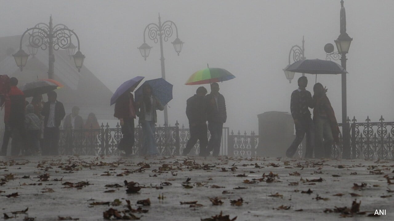
The monsoon has packed its bags, yet Delhi-NCR woke up on 12 October to heavy showers and lightning. The rain had begun the night before and caught North India off guard. Unseasonal and sudden, the rain is no one-off. It reflects a broader shift in weather patterns and is part of a volatile climate disruption.
So what is driving these sudden showers, and what lies ahead?
The Super El Nino Effect
NDTV spoke to Professor Gufran Beig, Chair Professor at NIAS, IISc, and Founder Director of SAFAR, who provided a sharp breakdown of the forces behind these abrupt weather changes.
On the broader climate driver, Professor Beig said, "The El Nino unfolding now is an unusual Super El Nino, a supercharged event unlike a typical El Nino seen in the last decade. Its effects are already being felt across India, with the monsoon ending with a rainfall deficit of around 13 per cent and significant regional variations in precipitation."
Expanding on the impact, he added, "The Pacific Ocean has warmed by 3.2 degrees Celsius and may touch a record 3.5 degrees Celsius within two months. This means the coming winter will be relatively mild, punctuated by sharp and unpredictable temperature fluctuations."
READ | Delhi-NCR Sees Rain After Monsoon Withdrawal: 3 Weather Factors Explained
On Delhi's sudden rainfall, Professor Beig explained, "The sudden rainfall witnessed yesterday, despite the withdrawal of the monsoon, offers a glimpse of this unusual weather variability. While atypical wind circulation patterns kept the upper atmosphere warmer than usual, an active Western Disturbance (WD) over northern India triggered unexpected heavy rainfall and thunderstorms across Delhi-NCR, rather than the lighter showers typically associated with such systems."
Explaining the phenomenon, he said, "It is like when those cold Western Disturbance clouds collided head-on with the hot, humid air right over the Delhi-NCR plains, squeezing all that trapped moisture out like a saturated sponge, leading to sudden and heavy downpours."
He noted, "Together, these developments highlight how unusual atmospheric circulation patterns can produce abrupt weather changes, even during periods when such rainfall would not normally be expected."
What Is The Weather Office Saying?
The India Meteorological Department (IMD) outlined the active weather systems and issued warnings nationwide. The department said conditions are becoming favourable for the further withdrawal of the Southwest Monsoon from the remaining parts of the country. Northeast Monsoon rains are set to begin simultaneously over the southern peninsula during the next two to three days.
READ | Weather Tomorrow: Widespread Rain In South, Northeast On October 1, Delhi-NCR To Stay Dry
The weather office explained that "atmospheric instability was bringing isolated-to-widespread rainfall, thunderstorms with lightning, and gusty winds over Haryana, Chandigarh, Delhi, and Punjab, alongside isolated hailstorm activity."
Over the past 24 hours, very heavy rainfall (12–20 cm) was recorded over Jammu and Kashmir, and heavy rainfall (7–11 cm) over the Andaman and Nicobar Islands and Haryana. Hailstorms occurred at isolated places over Uttarakhand and West Uttar Pradesh.
For Delhi, the department said temperatures are forecast to range between 31 degrees Celsius and 35 degrees Celsius, with cloudy skies and intermittent light-to-moderate rain spells.
Other Regions And Further Predictions
Haryana, Chandigarh, Delhi and Punjab: Isolated to scattered rainfall on 12–13 October, becoming fairly widespread to widespread on 14–15 October. It will be accompanied by thunderstorms, lightning, gusty winds (40–50 kmph, gusting to 60 kmph) and isolated hailstorms.
Jammu, Kashmir, Ladakh, Gilgit-Baltistan and Muzaffarabad: Isolated to scattered rainfall is expected on 12 and 16 October, turning fairly widespread from 13 to 15 October.
Himachal Pradesh: Isolated to scattered rain on 12–13 and 16–17 October, becoming fairly widespread on 14–15 October.
Uttarakhand: A prolonged spell of rain from 12 to 18 October.
South Peninsular India: With the onset of the Northeast Monsoon, a prolonged wet spell is locked in for the south peninsula over the next five to six days. Isolated heavy rainfall is expected over Kerala and Mahe, Coastal and South Interior Karnataka, Tamil Nadu, Puducherry and Karaikal, and Coastal Andhra Pradesh during 15–18 October. North Interior Karnataka will receive isolated heavy rain on 17–18 October, while Rayalaseema will see similar conditions on 15–16 October.
East, Central and Northeast India: The Andaman and Nicobar Islands will see fairly widespread to widespread rainfall on 12–13 October. Isolated to scattered rainfall is expected across parts of Odisha, Gangetic West Bengal, Bihar, Jharkhand, Chhattisgarh and the northeastern states (including Assam, Meghalaya and Arunachal Pradesh) at varying intervals through 18 October.
KioskNews shows a cleaned-up reading view extracted from the publisher’s page — the original always lives on their site, not ours.