How Uttarakhand’s Rudraprayag bypass could reshape Char Dham traffic flows
Trial movement of vehicles began on Monday on a bridge-and-tunnel link forming part of the Rudraprayag bypass in Uttarakhand. The route is intended to divert vehicles travelling towards Kedarnath and Badrinath away from the town’s congested market, where local traffic and pilgrimage-bound vehicles share a limited road network.
The project comprises a 900.30-metre tunnel, a 200-metre bridge over the Alaknanda River and connecting roads, with a total length of approximately 1.18 km. According to the Uttarakhand government, it has been constructed at a cost of around Rs 156 crore and will connect the Kedarnath National Highway (NH-107) with the Badrinath National Highway (NH-07). Chief Minister Pushkar Singh Dhami inspected the route on Monday and said it would be formally inaugurated soon.
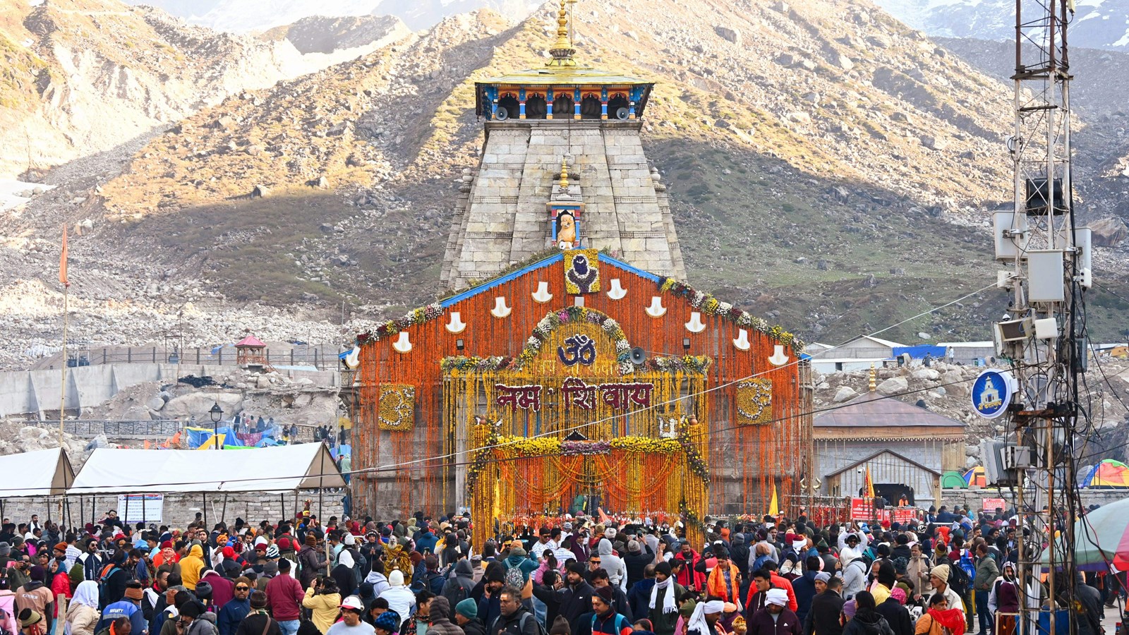
The scale of the annual pilgrimage underlines the pressure on Uttarakhand’s road network. According to state government figures, 51.06 lakh pilgrims visited the four Char Dham shrines in 2025, up from 46.69 lakh in 2024. More than 5.1 lakh vehicles reached the four shrine areas during the 2025 season. Kedarnath recorded the highest footfall, with 17.68 lakh pilgrims, followed by Badrinath, which received more than 16.6 lakh.
Why Rudraprayag matters
Rudraprayag is a key junction on the road network serving two of Uttarakhand’s principal pilgrimage destinations. Vehicles travelling towards Kedarnath and Badrinath pass through the district, while the town itself generates local traffic from residents, businesses and public services.
During the Char Dham pilgrimage season, the additional volume of vehicles can put pressure on roads running through built-up areas. Congestion at a single junction can slow traffic along the wider mountain route, affecting journey times for pilgrims, local commuters and vehicles transporting goods.
The new link is intended to separate through-traffic from vehicles using the town’s internal roads. Unlike a conventional road-widening project, which increases capacity along an existing alignment, the bypass creates an alternative route around a congested settlement. The tunnel passes through the hillside, while the bridge carries traffic across the Alaknanda River to connect the two highway corridors.
If the route is opened for regular use and attracts a substantial share of through-traffic, it could reduce pressure on the market area. The extent of the benefit, however, will depend on traffic management, the connections with existing roads and how many vehicles are diverted onto the new alignment.
Story continues below this ad
The Rudraprayag link forms part of the broader effort to improve connectivity to Badrinath, Kedarnath, Gangotri and Yamunotri. The Centre’s Char Dham Mahamarg Vikas Pariyojana, announced in 2016, envisaged widening approximately 889 km of hill roads to provide all-weather connectivity to the four shrines. The programme has an estimated cost of around Rs 12,000 crore in the original project framework.
The highway programme has a wider significance beyond religious tourism. Improved road connectivity is important for residents of remote mountain settlements, the movement of essential goods and access to services. Some of the routes also have strategic importance because they connect areas close to the India-China border.
Concerns surrounding such projects
The programme has been the subject of a prolonged debate over the engineering requirements of mountain roads and their environmental consequences.
In 2020, the Supreme Court directed the government to follow the Ministry of Road Transport and Highways’ guidelines prescribing a 5.5-metre carriageway for roads in hilly terrain. The Centre subsequently sought wider roads, citing the requirements of the armed forces. In December 2021, the court allowed widening to a 10-metre carriageway on three strategic stretches — Rishikesh to Mana, Rishikesh to Gangotri, and Tanakpur to Pithoragarh — while setting up an oversight committee to monitor environmental safeguards.
Story continues below this ad
The court’s order also noted concerns raised by its expert committee over issues including the disposal of excavated material, hill cutting and the adequacy of measures to address landslides. The debate highlighted the challenge of balancing road capacity and strategic requirements with the environmental limits of the Himalayan terrain. That tension has persisted as extreme weather events have repeatedly disrupted transport in Uttarakhand.
In January 2026, the Centre told the National Green Tribunal that approvals had been granted for the felling of 17,625 trees across 13 proposals on the Gangotri and Yamunotri highway stretches under the Char Dham expansion programme. The NGT proceedings followed concerns over compliance with environmental norms and the impact of infrastructure development on Himalayan ecology.
During Monday’s visit, Dhami also reviewed slope-protection and stabilisation work along landslide-prone stretches of the Rudraprayag-Gaurikund National Highway. The state government said these works were intended to reduce landslide risks.
KioskNews shows a cleaned-up reading view extracted from the publisher’s page — the original always lives on their site, not ours.