Uttarakhand’s first glacial lake early-warning system: What it will monitor, why it matters
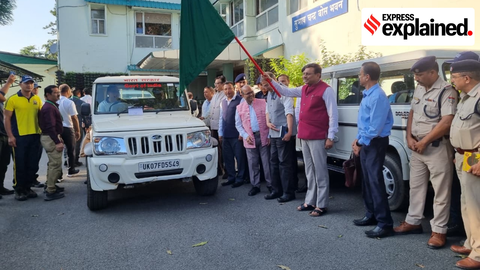
Weeks after the Nepal disaster, the Himalayan state of Uttarakhand is moving from mapping its vulnerable glacial lakes to monitoring them in real time, with the state’s first early-warning system for a glacial lake being installed at Vasundhara Tal in Chamoli from Tuesday.
A scientific and technical team comprising experts from the Central Building Research Institute (CBRI), Roorkee, and the Wadia Institute of Himalayan Geology, Dehradun, left for the high-altitude lake on Tuesday. The operation, scheduled from September 29 to October 15, is being supported by the State Disaster Response Force (SDRF), the National Disaster Response Force (NDRF), and the Indo Tibetan Border Police (ITBP).
On Tuesday, Chief Secretary Anand Bardhan, who flagged off the team, said the initiative would help reduce the risk posed by glacial lake outburst floods (GLOFs). “This initiative will prove to be a milestone in reducing the dangers of GLOFs in the coming years and in understanding the risks,” he said.
In August, a massive flood in Nepal’s Lhende Khola and Bhote Koshi river system was initially linked to a possible earthquake. Subsequent analysis by the US Geological Survey found that the seismic energy was instead generated by a glacial collapse and debris flow. The disaster killed hundreds and swept away roads, bridges and houses.
A year earlier, Uttarakhand itself witnessed the devastating Dharali flash flood in Uttarkashi. While some experts suspected a glacial lake breach, others pointed to rainfall, glacier-related processes and the possibility of an avalanche or landslide. The exact trigger remains unclear.
It is against this backdrop that the initiative begins with Vasundhara Tal this year.
From surveys to sensors
In January 2025, The Indian Express reported that the Uttarakhand State Disaster Management Authority (USDMA) was preparing a comprehensive plan to study and regularly monitor the state’s glacial lakes.
Story continues below this ad
The National Disaster Management Authority (NDMA) had identified 13 high-risk glacial lakes in Uttarakhand, of which five were classified as Category A, the highest-risk category. Vasundhara Tal was among them.
At the time, USDMA officials had said the first step was to establish the physical characteristics of the lakes – including their length, width, terrain and depth – and assess downstream flow. The next stage was to deploy instruments for real-time monitoring, which is now beginning.
According to the latest government data, 344 glacial lakes were identified in Uttarakhand in 2023 by the National Remote Sensing Centre. Of the 13 high-risk lakes, six are in Pithoragarh, four in Chamoli and one each in Bageshwar, Tehri Garhwal and Uttarkashi.
Bathymetric surveys have already been completed at six lakes – Saraswati Tal and Vasundhara Tal in Chamoli; Kedartal in Uttarkashi; and Mabang, Pyungru and Syunkti Yankti proglacial lakes in Pithoragarh’s Darma Valley.
Story continues below this ad
These surveys establish the depth and water-holding capacity of the lakes – information that can be used to assess the potential scale of a GLOF.
What the Vasundhara system will monitor
The system being installed at Vasundhara will track water level, weather, snow conditions, water flow and movement around the lake.
A water-level sensor will monitor fluctuations and abnormal changes. An automatic weather station will record temperature, humidity, rainfall, wind speed and direction, atmospheric pressure and light intensity. Snow-depth and sub-surface temperature sensors will monitor changes in snow conditions.
Story continues below this ad
Tilt and accelerometer sensors will detect movement and vibrations at selected locations, while a water-flow sensor will monitor changes in discharge.
The equipment will be powered through a solar-energy system, and data will be transmitted by satellite because conventional mobile networks are unavailable in the remote high-altitude region.
A data logger and monitoring dashboard will record the readings and generate alerts when predetermined thresholds are crossed.
The state government said the system would enable “continuous monitoring of environmental and hydrological changes in and around Vasundhara Tal” and help identify abnormal changes in time.
Story continues below this ad
The larger challenge, however, is not merely detecting a change in a glacial lake but converting that information into a warning that reaches vulnerable communities before a flood does.
The government says satellite phones and low-Earth-orbit communication devices have been provided to the team to maintain communication with USDMA from the high Himalayas.
Disaster Management and Rehabilitation Secretary Vinod Kumar Suman said the state is working to strengthen scientific monitoring of glacial lakes and prepare for the possibility of GLOFs affecting downstream settlements, roads, bridges and hydropower projects.
“The objective of the state government is to identify risks on the basis of scientific data and ensure that necessary safety and rescue measures are undertaken in the affected areas in time,” Suman said.
KioskNews shows a cleaned-up reading view extracted from the publisher’s page — the original always lives on their site, not ours.