What is a sudden stratospheric warming? Weather phenomenon set to hit UK
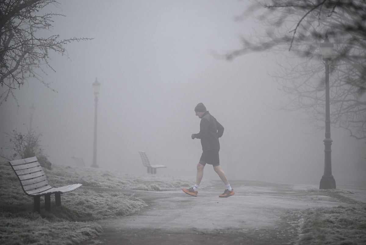
An unusually early atmospheric shift high above the North Pole has disrupted the polar vortex, prompting forecasters to monitor whether colder winter conditions could be pushed towards the UK in the coming weeks.
The Met Office confirmed on Wednesday that a sudden stratospheric warming (SSW) event has taken place roughly 30km above the Earth’s surface.
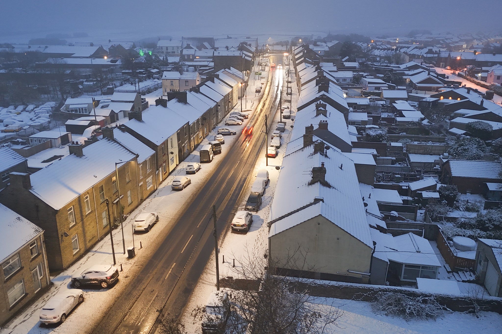
It comes as Britain is already battling a sharp wintry snap that has delivered early snowfall to parts of northern England and southern Scotland, alongside unsettled conditions further south.
While meteorologists stressed that the current chill is being driven by separate jet stream patterns rather than the upper-atmosphere shift, the timing of the SSW has sharpened focus on what the phenomenon could mean as meteorological winter approaches.
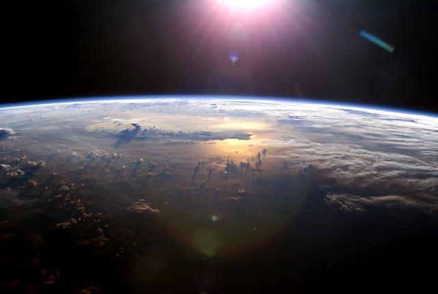
What is sudden stratospheric warming?
During the autumn and winter months, a pool of freezing air forms high in the stratosphere above the Arctic, held in place by powerful westerly winds known as the stratospheric polar vortex.
Occasionally, vast atmospheric ripples – known as planetary waves – surge upwards and knock this circulation off balance.
When those waves hit the vortex, the circulating winds can slow down dramatically or reverse direction altogether. This collapse causes air in the upper atmosphere to sink and compress, triggering a rapid spike in stratospheric temperatures that gives the phenomenon its name.
According to Met Office analysis, this autumn’s disruption has been driven by an unusually intense sequence of planetary waves.
A powerful wave pattern first squeezed and weakened the vortex in late October, before a secondary wave in November shoved it off-centre away from the North Pole. Historical data stretching back to the 1940s indicates the combined strength of the two waves is greater than any comparable early-season event on record.
How will it change UK weather?
Despite the dramatic temperature surge high in the atmosphere, forecasters stress that an SSW does not automatically guarantee snow or a deep freeze across Britain.
Changes in the stratosphere typically take between two and six weeks to filter down through the atmosphere and affect surface conditions – and even then, an SSW only alters the probability of colder weather rather than locking it in.
Multiple meteorological ingredients still need to align for widespread snowfall to occur.
For now, the polar vortex is showing signs of recovery as its westerly winds begin to rebuild. However, some long-range computer models indicate the winds could falter again later in December, leaving the door open to further disruption as meteorological winter gets under way.
What is the forecast for the next week?
The Met Office has emphasised that this week’s chilly conditions are unrelated to the SSW, instead stemming from a strong jet stream sitting further south than usual and keeping Britain on its colder side.
Low pressure will continue to drive unsettled weather across southern regions over the coming days, while northern areas are expected to enjoy drier, brighter spells.
Conditions are forecast to turn calmer heading into Friday and Saturday, with overnight temperatures between Friday and Saturday potentially plunging to -8°C or -9°C in sheltered spots.
By later on Saturday, Atlantic weather fronts are due to push in from the west, bringing rain alongside slightly milder air.
KioskNews shows a cleaned-up reading view extracted from the publisher’s page — the original always lives on their site, not ours.