A river project, a pending clearance, and a meeting between two CMs
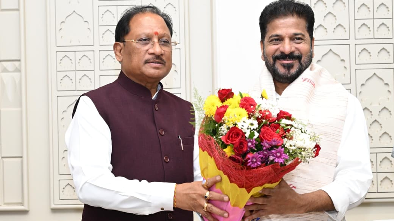
Chhattisgarh Chief Minister Vishnu Deo Sai wth his Telangana counterpart A Revanth Reddy.
AI Narration
Listen
00:00
Telangana Chief Minister A Revanth Reddy met his Chhattisgarh counterpart, Vishnu Deo Sai, on Tuesday to discuss a no-objection certificate (NOC) for the Sammakka Sagar project on the Godavari River, which would allow full water storage in the inter-state barrage but could lead to the partial submergence of agricultural land in five villages in Bijapur in Bastar region.
During the meeting at Sai’s official residence in Nava Raipur, the two CMs agreed to continue discussions, with the Chhattisgarh government saying it will try to complete the NOC process by next monsoon after completing three surveys to assess the extent of submergence and determine the appropriate compensation.
Reddy, accompanied by Telangana Irrigation Minister N Uttam Kumar Reddy, urged Chhattisgarh to allow the barrage to store water to its full capacity.
The barrage is located in Tupakulagudem in Telangana’s Mulugu district, along the Godavari River, which forms the natural boundary with Chhattisgarh’s Bijapur district. The project began in 2017 and was completed in 2021-22, but it has yet to become fully operational.
When Telangana approached the Central Water Commission for permission to operate the barrage at full capacity, it was asked to obtain an NOC from Chhattisgarh because the reservoir is expected to submerge revenue and forest land in the state.
Before issuing the NOC, the Chhattisgarh government is conducting three surveys. IIT Kharagpur completed the first survey for backwater impact assessment and submitted its report to the Chhattisgarh government. However, two more surveys remain unfinished.
The second survey is a cadastral and LiDAR survey. A cadastral survey helps identify land ownership and boundaries for land that may belong to villagers, the revenue department, or the forest department, after which compensation is categorised. LiDAR is an aerial survey done to map land’s elevation.
Story continues below this ad
The third survey is related to the Social Impact Assessment as part of land acquisition, under which five Gram Sabhas will be held in Tarlaguda and four surrounding villages where agricultural land along the Godavari River may be submerged.
“In the rare case there are floods, about 200 to 250 hectares of land may get submerged, affecting the five villages, and we have to take this into account,” an official said.
KioskNews shows a cleaned-up reading view extracted from the publisher’s page — the original always lives on their site, not ours.