Coldest night since May for parts of UK as temperatures drop below 0C
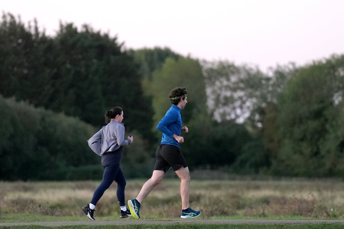
Temperatures plummeted to their lowest levels since May overnight in the UK, dipping below zero in some areas, as more wintry conditions are forecast in the coming days.
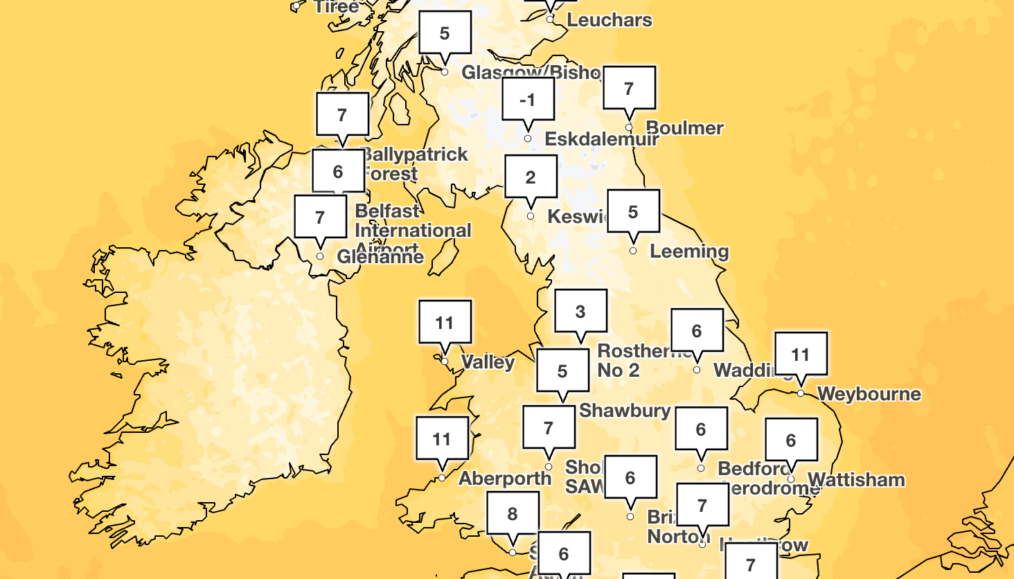
Parts of southern Scotland saw temperatures fall below -1C, while other areas of Scotland and northern England saw lows of around 3 to 7C, the Met Office said.
Altnaharra in Sutherland recorded -1.3C overnight and Shap in Cumbria recorded the coldest English temperature at -0.8C. The last time temperatures dipped below zero in these areas was in May.
In the South, temperatures dropped to around 6C, with a low of 3C in Worcestershire in the early hours of the morning, while London saw temperatures fall to 7C.
On Thursday, the Met Office said there will be “some light showers in northern Scotland and western Wales to start the day, but for many a bright start with some areas seeing a frost overnight”.
The forecaster added: “Temperatures will slowly rise through the day but generally struggle. By the afternoon, rain will have turned heavy across Northern Ireland and will start making its way into the west of Scotland.”
It added: “Brighter skies will remain in the afternoon anywhere from the Midlands south-eastwards. Temperatures will struggle in the North and West, only reaching 12 or 13 degrees.
“In the South and East, temperatures could reach up to 16 degrees in the sun. Throughout the evening and night, the rain will continue to spread south and eastwards.”
Highs of around 12 to 16C are forecast across the country on Thursday, with warmer overnight temperatures unlikely to fall below 10C.
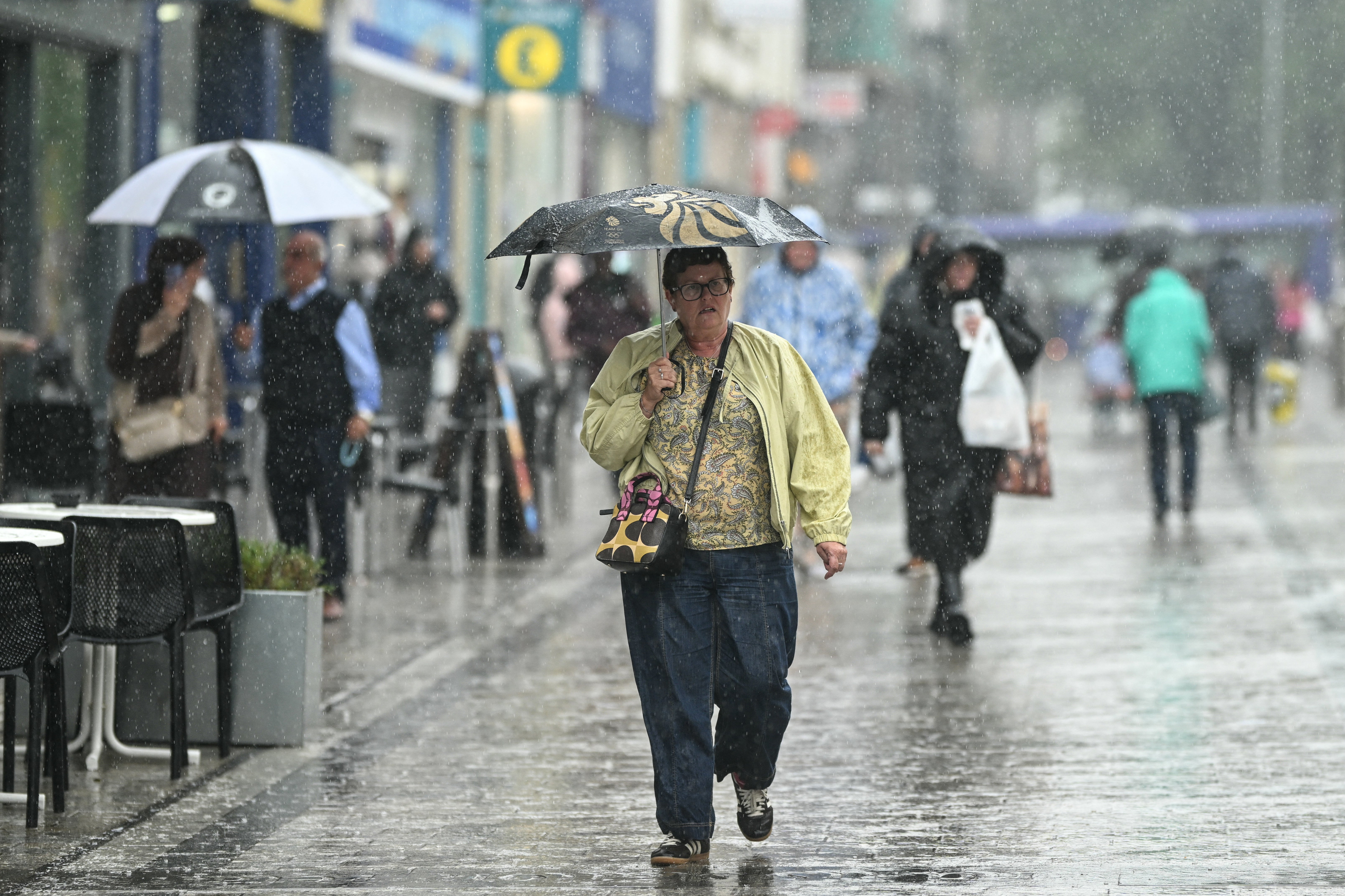
But strong winds and intense outbreaks of rain are expected across the week, the Met Office said.
Northern Ireland will be hit by showers on Thursday morning, which will turn heavy by the afternoon.
The weather agency is also expecting rain in Scotland and northern parts of England by the evening.
Meteorologist Clare Nasir said: “Towards the west, we will see that wind pick up and also some outbreaks of rain and then it turns lively through the night and into Friday. Winds will be strong, outbreaks of rain will be intense.”
Sunny spells with some blustery showers are expected across the weekend.
Met Office five-day forecast
Thursday
Sunny but chilly to start, with coastal showers fading. Cloud increases from the West and the North West, bringing strengthening winds and outbreaks of rain, locally heavy over higher ground. Rain continues to move eastwards through the afternoon. Cool for most.
Thursday night
Rain reaches the South East through the evening. Staying cloudy with outbreaks of rain elsewhere, with heaviest in the North and on high ground. Wind increasing from the West. Mild.
Friday
Cloud and rain clear in the North to leave sunny spells and showers, some heavy. Breezy with strong coastal winds. Temperatures near average, but warmer across southern and eastern areas.
Outlook for Saturday to Monday
Sunny spells with blustery showers, most frequent in the North and West, easing Sunday. Rain spreads east Monday, windy at times, especially in the North West. Temperatures near average, briefly mild.
KioskNews shows a cleaned-up reading view extracted from the publisher’s page — the original always lives on their site, not ours.