Arctic blast brings chance of snow to UK as temperatures plunge to -6C this weekend
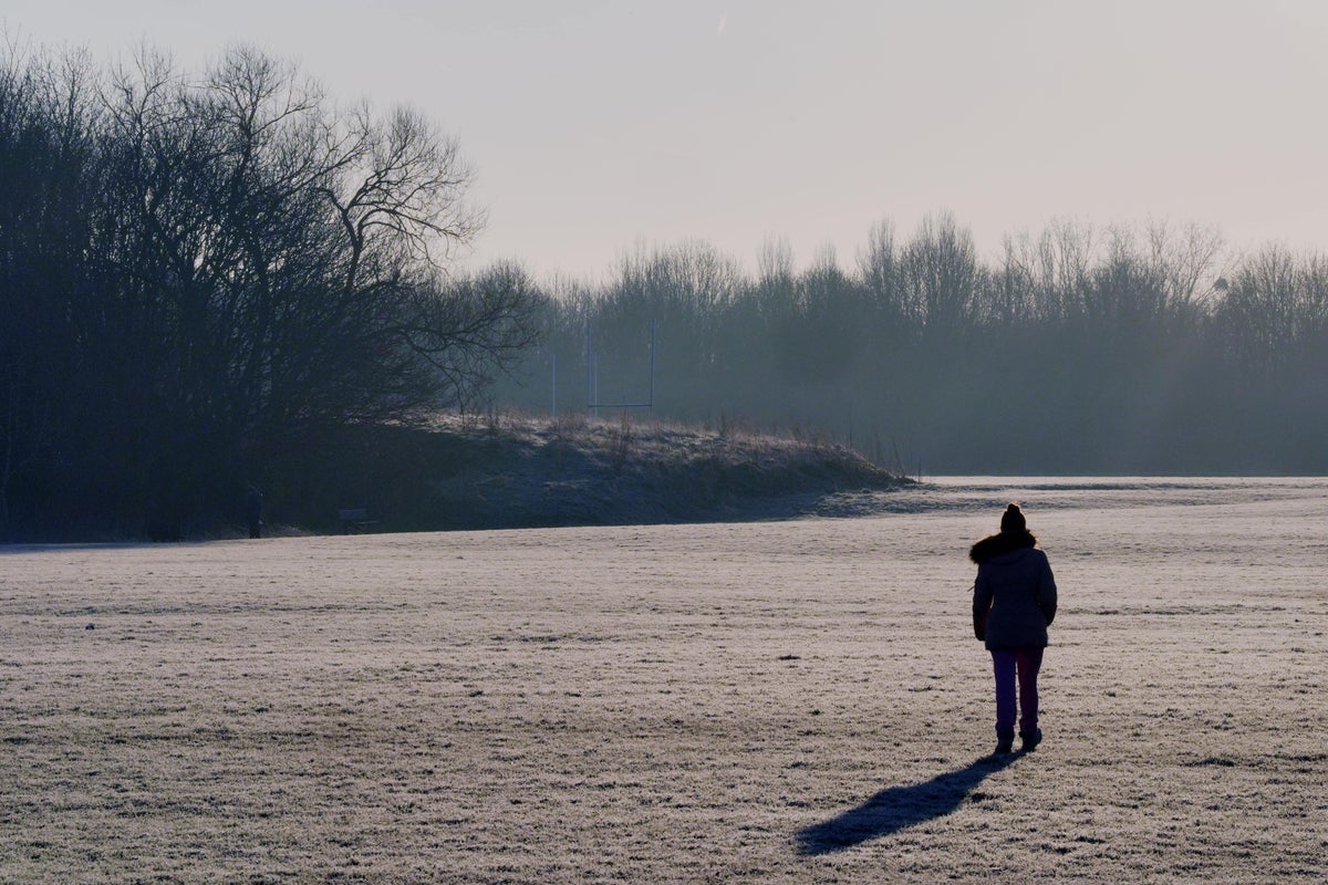
Freezing Arctic air is sweeping across the UK bringing widespread low temperatures, harsh frosts and a chance of snow.
Another widespread crisp early frost is expected on Saturday morning as the cold snap brings temperatures down to -4C in parts of the south of England and Wales.
Most of England should be dry, sunny and frosty on Saturday, but conditions are forecast to turn cloudier, milder, and unsettled throughout the weekend.
Rain will become increasingly widespread across northern and central Scotland, with further showers affecting northern England and north Wales.
Sunday morning is expected to see warming weather, with temperatures reaching double figures (11C) by the afternoon.
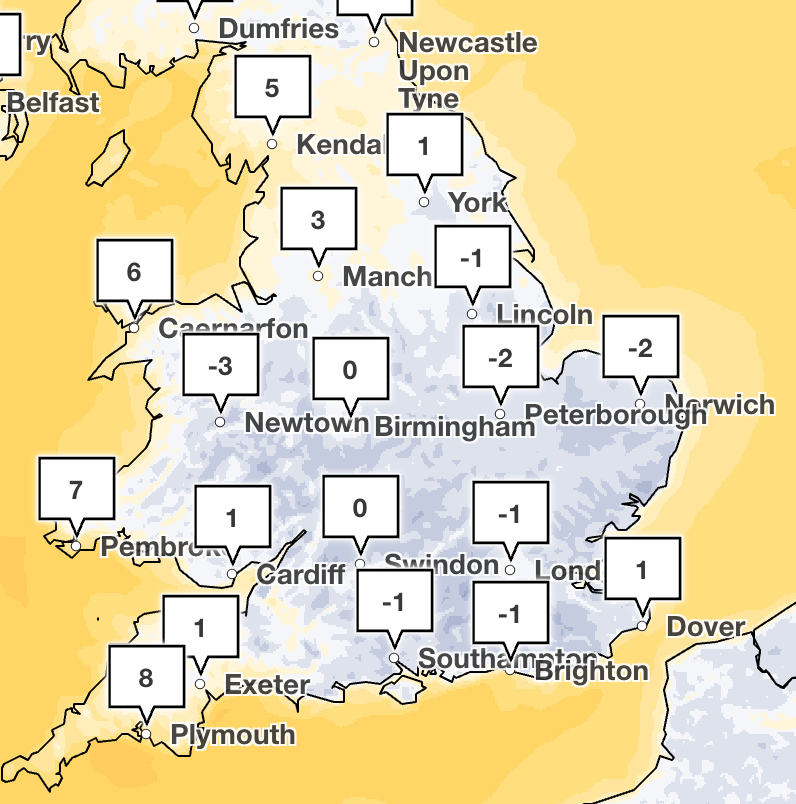
More cold weather could also hit on Friday night ahead of the weekend as the Met Office has forecast lows of -6C in rural parts of southern England.
The Met Office has warned parts of northern Scotland could see snow on Saturday night into Sunday as rain is forecast to meet colder air.
The forecaster has said some snow could temporarily reach lower levels, but the most significant flurries are expected over higher ground. Around 2 cm is possible above 200 metres, with several centimetres over higher routes and potentially 5-10 cm over the tops of the hills.
On Sunday snow is expected to ease, as rain showers spread into western areas and Northern Ireland. England and Wales should remain largely dry, although increasingly cloudy.
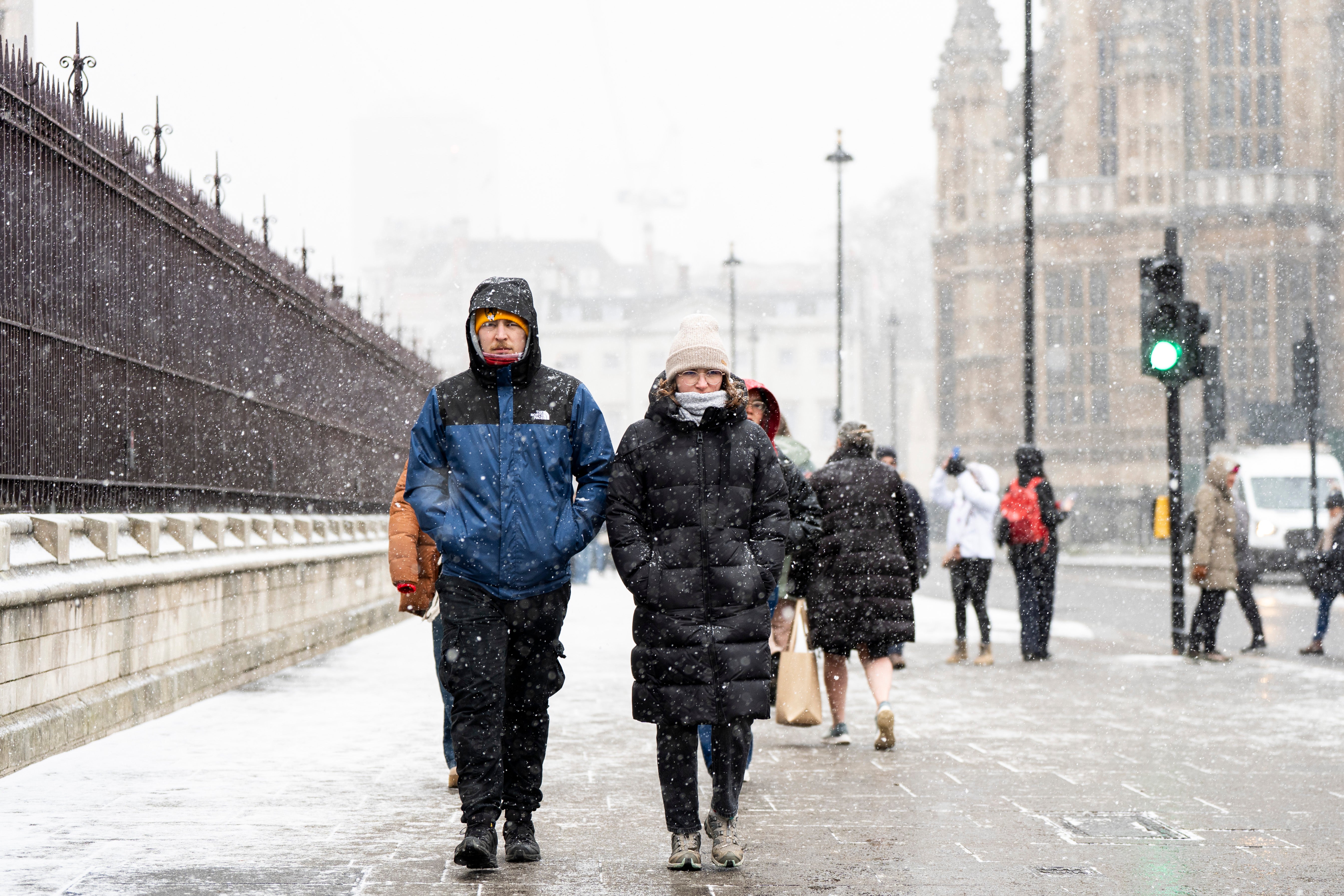
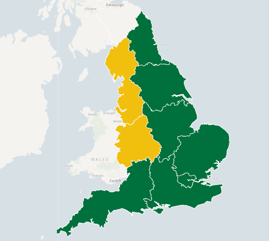
It comes as a yellow cold health alert has been issued by the UK Health Security Agency (UKHSA) for the North West and West Midlands. The alert will be in place from 9am on Thursday until 12pm on Saturday.
Health leaders have encouraged people to check on their loved ones and neighbours, saying low temperatures can lead to a spike in the use of health and care services.
Experts added that colder weather can also result in increased risk for over-65s and people with certain health conditions, such as heart and lung problems.
Dr Anya Gopfert, consultant in public health at UKHSA, said: “This is the first cold-health alert of the winter, but we can expect more as we move further into the season.
“Cold weather can have a serious impact on the health of some people, including those aged 65 and over and those with pre-existing health conditions, so it is vital to check in on friends, family and neighbours who are most vulnerable.
“We’re also reminding people to take simple steps to stay warm and look after their health as temperatures begin to fall. Keeping homes heated where possible and dressing warmly can help people stay safe and well during colder weather.”
What is the forecast for the next five days?
Today:
After a cold and frosty start, it will be a largely fine and dry day with plenty of sunshine, especially across England and Wales. Some showers likely near North Sea coasts. Cloudier with showers in the far north. Feeling cold.
Tonight:
Staying largely dry with lengthy clear spells across England and Wales and a fairly widespread frost. Turning cloudier in the south overnight. Further showers for northern parts of Scotland.
Saturday:
Largely fine and dry for England and Wales, although cloudier than previous days. Cloudier in northern Scotland with some rain and hill snow. Showers reaching southwest England later. Feeling cold.
Outlook for Sunday to Tuesday:
Unsettled with spells of rain or showers Sunday and Monday. Rain in the south on Tuesday, with some hill snow possible. Brighter with showers elsewhere. Often windy and feeling cold.
KioskNews shows a cleaned-up reading view extracted from the publisher’s page — the original always lives on their site, not ours.