20% of farmland soil in Chiang Rai river basins exceeds arsenic limits
CHIANG RAI — About 20% of agricultural soil tested in the Kok, Sai and Ruak river basins in Chiang Rai has arsenic levels above the Department of Land Development’s standard, while another 50% requires monitoring, according to preliminary findings released on 10 October.
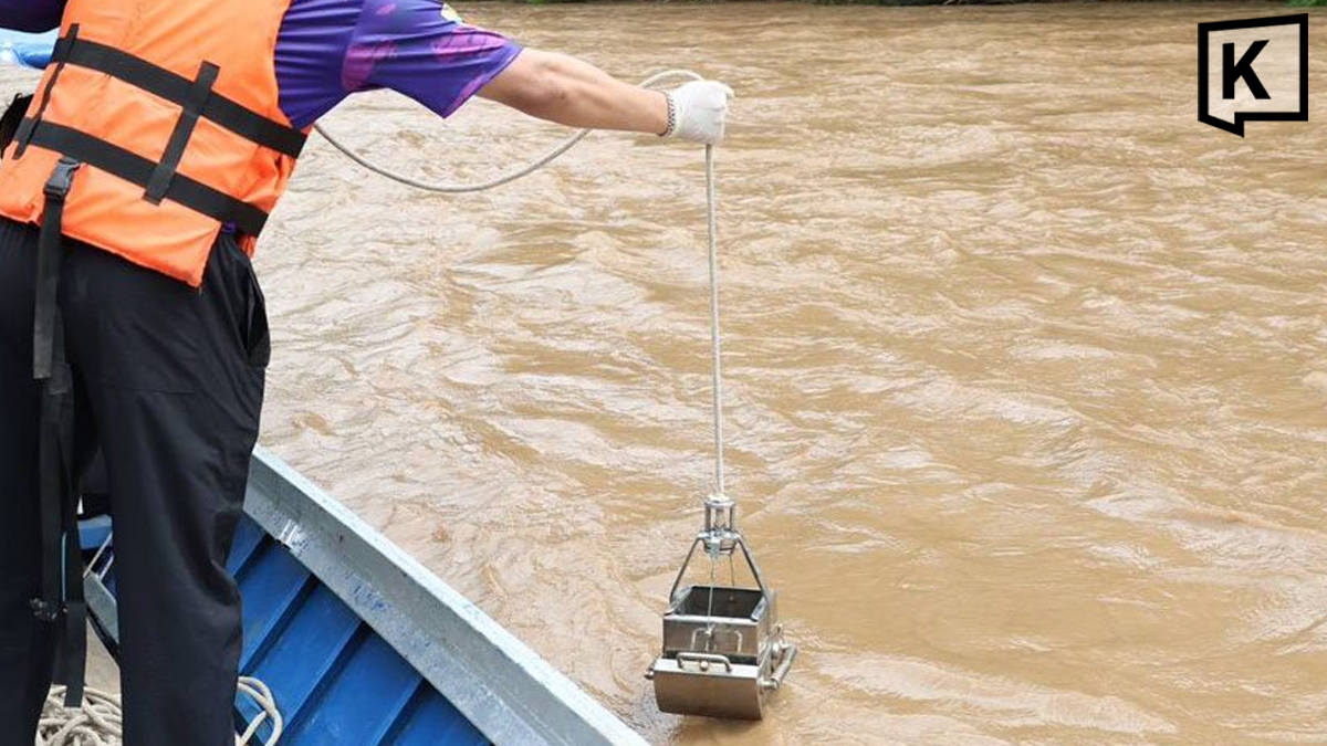
Parinyanon Thongkham, director of the Chiang Rai Land Development Station, said more than 200 soil and water samples had been collected to assess contamination across agricultural areas in the river basins. The survey was funded by the Chiang Rai Irrigation Office.
Soil samples were taken at depths of 15–20 centimetres, where plant roots absorb nutrients, at distances ranging from 100 metres to two kilometres from riverbanks. The aim was to assess how contaminants have spread through agricultural ecosystems, with arsenic the main focus of the analysis.
Under the department’s classification system, soil containing less than 14 milligrams of arsenic per kilogram is classified as green, indicating normal levels. Concentrations of 14–25 mg/kg are classified as yellow and require monitoring, while levels above 25 mg/kg are classified as red, exceeding the standard.
The preliminary results indicate that around 20% of the tested areas fall into the red category, 50% into yellow and 30% into green.
Authorities plan to collect follow-up samples regularly in red and yellow zones. Red-zone areas will be retested every two to three months, while yellow-zone areas will be checked every six months.
The Land Development Station is also working with the Department of Agricultural Extension to advise farmers in high-risk areas to avoid growing food crops, particularly those grown for their leaves or fruits, and consider alternative crops that are less likely to accumulate contaminants, such as energy crops.
Parinyanon said shifting away from traditional food crops would be challenging because many farmers have long relied on rice and crops such as maize near water sources. Limited agency budgets and the lack of clear criteria for suspending irrigation water intake when it is heavily clouded by sediment also complicate efforts to reduce exposure.
Assistant Professor Sathian Chanta of Chiang Rai Rajabhat University’s Faculty of Science and Technology called on government agencies to urgently publish detailed contamination maps so residents and farmers can identify whether their land falls within a red, yellow or green zone.
Green-zone land can continue to be farmed normally, he said, while yellow zones require clear guidance on which crops are suitable, with non-food crops that can still generate income being considered. Food crops should not be grown in red zones, he added, and contaminated soil must be treated to prevent heavy metals from continuing to accumulate.
Sathian also urged authorities to consider compensation for farmers who are restricted from growing their usual crops, drawing a comparison with support measures for areas affected by severe PM2.5 pollution.
He criticised the Department of Land Development for not making soil-testing results publicly available, saying transparent disclosure was essential to help farmers understand the risks and plan their response.
Contamination in the Mae Sai irrigation system was particularly concerning, he said, citing reports of arsenic and lead levels exceeding standards and warning that pollutants could enter the food chain as crops absorb them.
The experts also raised concerns about a proposal by the Pollution Control Department and Siam Cement Group (SCG) to mix contaminated soil and sediment into cement-based products. Sathian said the approach could be one option for managing contaminated material, but the intended use of the resulting products must be clearly specified and assessed to ensure they do not pose risks to housing or the environment.
Dr. Suebsakul Kitnukorn, a social innovation academic at Mae Fah Luang University, said the project should be transparent and involve government agencies, academics, the private sector and affected communities from the outset.
He called for continuous monitoring of environmental quality and agricultural products to protect consumers and restore public confidence. He also urged further study of how contaminated sediment and sand from locations such as dredging sites and sediment traps in Mae Sai, as well as sediment from the Provincial Waterworks Authority’s treatment processes, could be safely processed into construction materials without harming the environment.
The experts stressed that publicly accessible information, clear agricultural zoning, ongoing testing and appropriate remediation would be essential to managing contamination in the river basins and protecting farmers and consumers.
KioskNews shows a cleaned-up reading view extracted from the publisher’s page — the original always lives on their site, not ours.