It took MapQuest until 2026 to add public transit directions
The 30-year-old map service is quickly getting with the times.
Taner Muhlis Karaguzel/Shutterstock
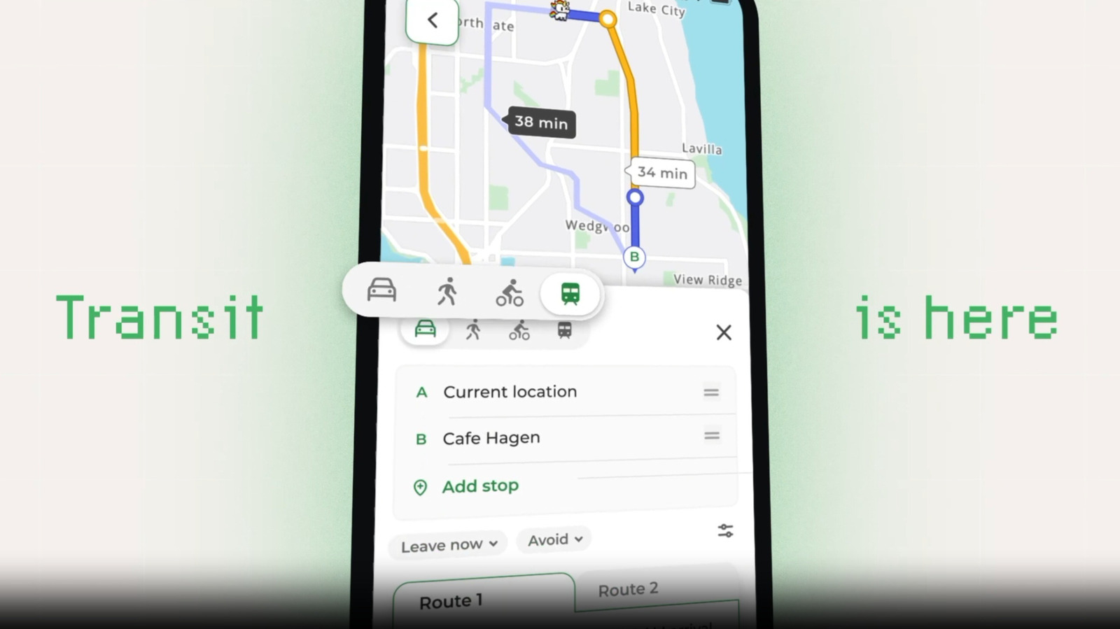
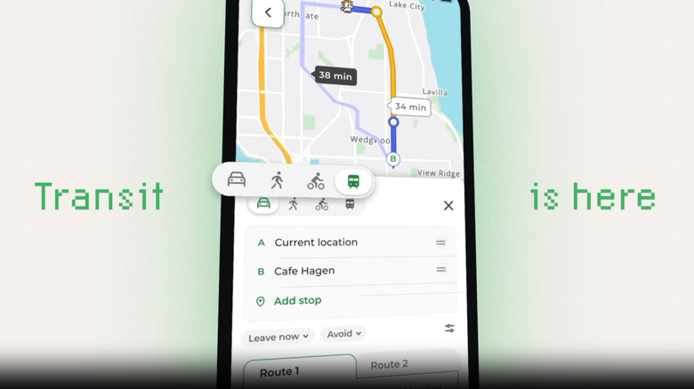
MapQuest is having a moment after refusing to follow along with Google Maps and Apple Maps and rename Lake Ontario. Its decision to hold firm led many folks to turn to its app, which rocketed up the App Store and Google Play charts. The service is now capitalizing on that by adding public transit directions, a feature it probably should have had in 2009 or so. It's available in the iOS and Android MapQuest app now and it's coming to the web soon.
At the outset, MapQuest supports transit directions for almost 2,000 cities across 70 countries. The feature includes door-to-door trip planning (factoring in buses, trains, trams and walking); real-time departure and delay information for more than 350 cities; details about station entrances and access points; and multiple route options. Y'know, much like MapQuest's competitors have had for well over a decade.
MapQuest says millions of people "rediscovered the brand overnight" after it declined to start referring to Lake Ontario as "Lake America," following an executive order from President Donald Trump. It said that many of the returning or new users, particularly those in major cities, wanted to make MapQuest their go-to navigation app, but they needed transit directions first. Updates are in the works, including expanded coverage and live navigation to guide users to their destinations.
The platform's developers have been racing to add other features, including Android Auto support. Having public transit directions is especially important, though. It's great that the 30-year-old MapQuest has finally added that critical feature, even if it took the stupidest possible catalyst to get there.
KioskNews shows a cleaned-up reading view extracted from the publisher’s page — the original always lives on their site, not ours.