Will El Nino and the polar vortex mean more snow for UK this winter?
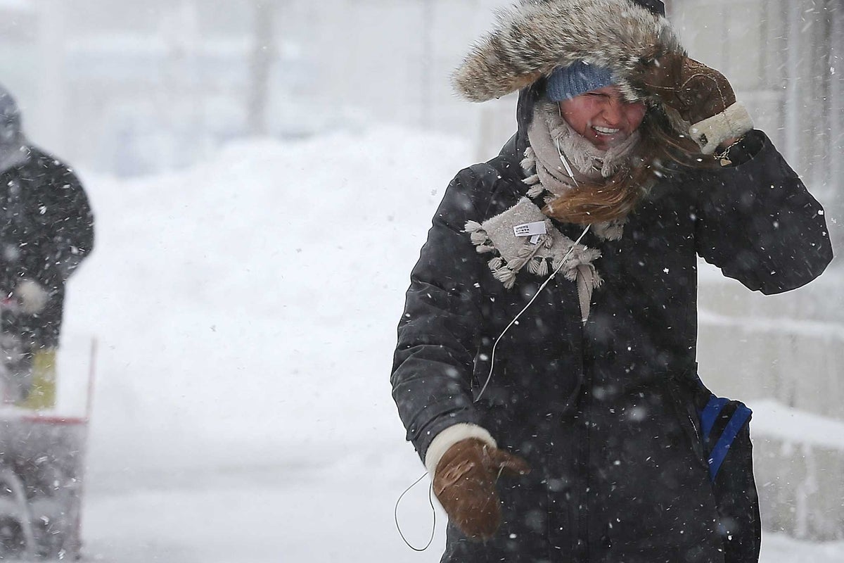
Freezing temperatures could sweep across the UK as El Niño continues to wreak havoc on global weather.
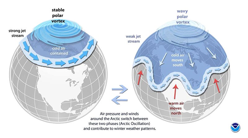
Forecasters warned the weather phenomenon, which has already smashed global benchmarks to become the strongest weather event in history, is currently disrupting a high-altitude ring of swirling cold winds spinning above the Arctic known as the stratospheric polar vortex.
While a strong polar vortex helps to contain very cold winds and conditions within the North Pole, disruptions can weaken the jet stream, sending severe, freezing Arctic air plunging southward into North America and Europe.
“A highly unusual disruption of the stratospheric polar vortex is now underway,” the Met Office told The Independent. “If it becomes a major Sudden Stratospheric Warming (SSW), it will be the earliest such event on record,” it added.
“The current large El Niño may be contributing to the disturbance, as El Niño is known to increase the likelihood of SSWs. While SSWs often promote the chances of cold UK weather, at this stage there remains uncertainty over the influence, if any, on weather at the surface,” The Met Office said
It added that in November 2025 there was a SSW but it did not directly lead to substantial cold weather for the UK.
The long range forecast suggests temperatures in November will be below average before returning to slightly above average later in the month. Although there will be more unsettled conditions, the forecaster does not say of there will be freezing conditions.
The polar vortex can grow weaker and spread south towards the UK if there is a sudden stratospheric warming, which according to the Met Office can make the winds in the vortex reverse direction.
“The stratospheric sudden warming can sometimes cause the jet stream to ‘snake’ more, and this tends to create a large area of blocking high pressure,” the forecaster said.
Experts explain that this usually forms over the North Atlantic and Scandinavia. That means northern Europe, including the UK, is likely to get a long spell of dry, cold weather, whereas southern Europe will tend to be more mild, wet and windy.
On the boundary of these areas, cold easterly winds develop and in some cases the drop in temperatures leads to snow, which is what happened in early 2018.
However, forecasters can only reliably predict individual sudden stratospheric warmings about a week in advance.
They can watch how these changes develop and may impact our future weather. The sudden stratospheric warming usually takes a few weeks to influence UK weather.
But it’s not just the polar vortex that could make the UK wetter and colder this winter. The Met Office warns the El Niño “is associated with increased risk of cold snaps.”
El Niño is a naturally occurring climate phenomenon that develops in the tropical Pacific Ocean. It takes place when sea-surface temperatures across the central and eastern Pacific become significantly warmer than average, altering atmospheric circulation patterns and influencing weather around the globe.
The weather phenomenon has already helped push temperatures to reach the hottest summer on record, and will continue to have “far-reaching” implications for weather conditions across the world, according to the Met Office.
KioskNews shows a cleaned-up reading view extracted from the publisher’s page — the original always lives on their site, not ours.