UN Adopts Togo-Led “Correct the Map” Resolution With 164 Votes in Favour
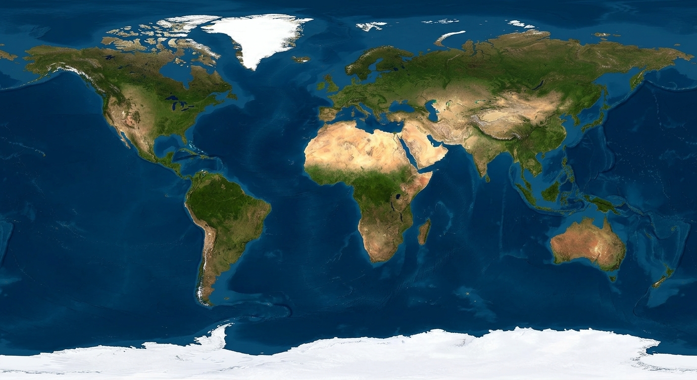
Contextual world map on the Mercator projection.
The United Nations General Assembly adopted a non-binding resolution titled “Correct the Map: Rebalancing global cartographic representation and promoting equitable representation of the world’s regions, particularly Africa” on Friday,September 4, 2026. The initiative, submitted as draft resolution A/80/L.104, encourages governments, educational systems, media organisations, and digital platforms to transition away from the 16th-century Mercator map projection in favor of equal-area projections such as the Equal Earth map. According to official voting records, the measure passed with 164 votes in favour, six abstentions, and a single vote against.
According to UN documents, the diplomatic campaign was spearheaded by Togo on behalf of the African Group and supported by the African Union along with advocacy groups such as Africa No Filter. Ahead of the General Assembly vote, Togo’s Foreign Minister Robert Dussey stated that maps shape education, guide public perception, and influence global understanding, adding in separate remarks reported by BusinessTech that “a fair world begins with a fair map”. Supporting delegation statements confirmed that French Foreign Minister Jean-Noël Barrot announced France will discontinue the Mercator projection in its national school curriculum, remarking in an Indian Express report that correcting a distorted visual representation serves as an “act of truth”.
According to cartographic data reported by Anadolu Agency, the traditional Mercator projection was created in 1569 by Flemish cartographer Gerardus Mercator primarily to assist European sailors in plotting straight-line nautical compass routes across spherical oceans onto flat surfaces. Geographers explain that representing a three-dimensional globe on a flat plane causes linear distortions that enlarge landmasses closer to the North and South Poles while shrinking equatorial landmasses. As a consequence of this projection formula, standard classroom maps depict Greenland and Africa at roughly identical visual sizes, whereas official land area measurements show Africa spans 30.3 million square kilometres, making it approximately 14 times larger than Greenland’s 2.1 million square kilometres.
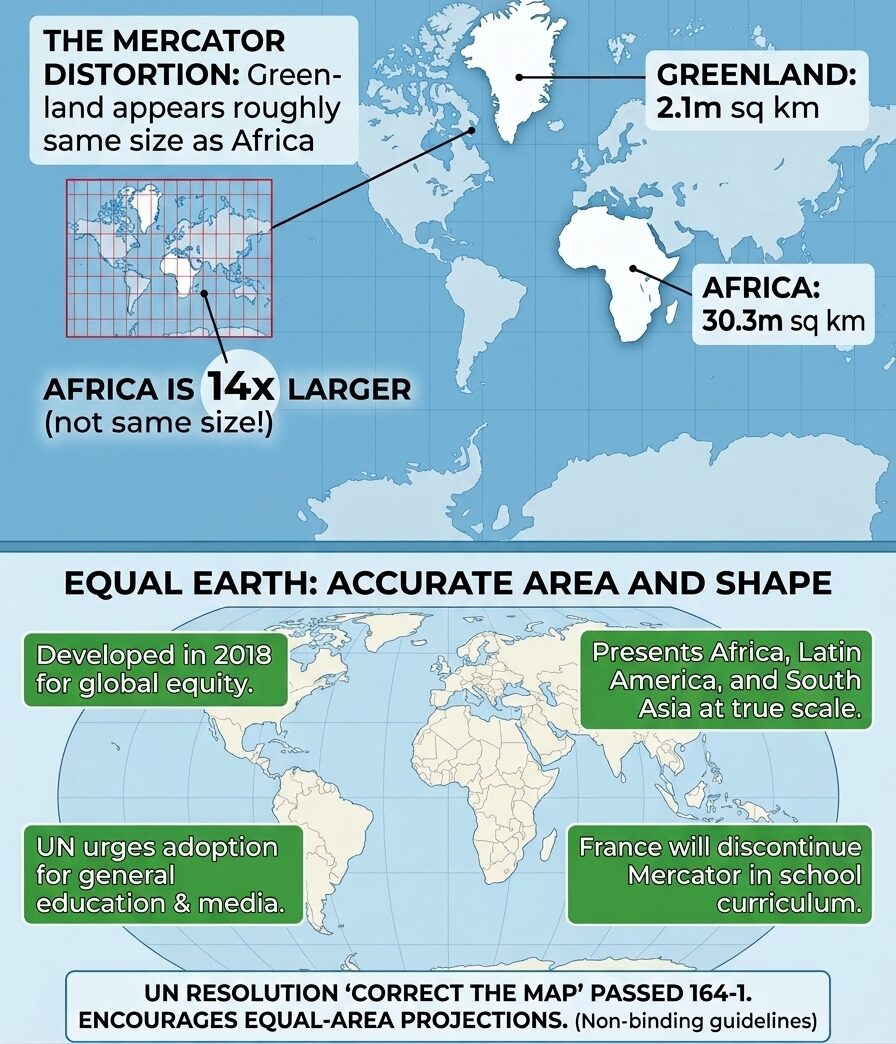
Fact sheet demonstrating the necessity of the UN “Correct the Map” resolution.
According to documentation from its creators Bojan Šavrič, Tom Patterson, and Bernhard Jenny, the Equal Earth projection was developed in 2018 as an equal-area map designed to retain the relative visual proportions of continents while preserving their recognizable shapes. By maintaining accurate surface areas, the projection places Africa, Latin America, South Asia, and Oceania in their proportional geographic sizes relative to North America and Europe. Togo’s foreign ministry clarified that the UN resolution does not legally prohibit or ban the Mercator projection for maritime or aerial navigation, for which it remains mathematically suited, but instead encourages adoption of equal-area maps for general education, atlases, and digital location services.
According to official assembly proceedings reported by Newscord, the United States was the sole member state to vote against the resolution, with American representatives characterizing the measure as an ideological distraction from core international security and economic priorities. Assembly records show that six nations—Estonia, Georgia, Lithuania, Moldova, Serbia, and Ukraine—abstained from the vote. Statements from Togo’s foreign ministry confirmed that African Union delegates plan to meet with textbook publishers and technology companies over the next six months to review implementation strategies for digital maps and educational materials.
For a visual breakdown of how Togo’s Foreign Minister Robert Dussey presented the initiative to the General Assembly, you can watch Togo’s Foreign Minister Robert Dussey Urges UN to Correct the Map. This video provides direct news coverage of Minister Dussey explaining the scientific and educational reasons behind replacing the Mercator projection with equal-area maps.
KioskNews shows a cleaned-up reading view extracted from the publisher’s page — the original always lives on their site, not ours.