Met Office says snow possible as temperatures drop ahead of ‘unsettled’ weekend
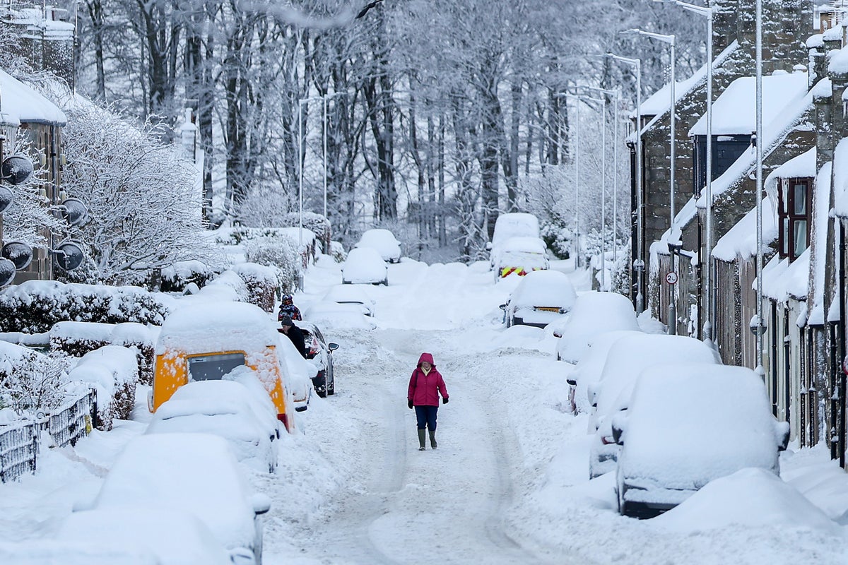
Temperatures could plummet across the UK this weekend as forecasters warn of a “brief hint of winter” after the country’s record-breaking summer.
Saturday will begin on a “chilly note”, the Met Office said, with temperatures around 10C in England and Wales and 8C in Scotland.
Most can expect “colder air, brisk winds and lively showers” to move across the UK, the weather authority added, with some higher points of Scotland possibly seeing snow on Saturday.
In northern parts of the UK, “frequent and intense downpours” are forecast, with Scotland possibly experiencing heavy hail and thunder.
Most regions are set to see showers at some point, alongside brisk winds that will make temperatures feel cooler.
The Met Office said conditions should improve into Sunday with high pressure expected to lead to drier weather.
After some overnight showers, clouds should give way to some sunny spells, before increasing again in the afternoon. This makes Sunday the best opportunity for outdoor plans, forecasters advise.
These are best made early, however, as wet and windy weather returns from the west later in the day, starting the new week off with more unsettled conditions.
Longer term, some weather experts have predicted that the UK will be hit with a wet and stormy autumn that develops into an icy winter.
The “unprecedented” El Niño weather event that helped send temperatures soaring in Europe earlier this year is set to have “far-reaching” implications, the Met Office has said.
This could include a weakening of the stratospheric polar vortex, brining a chance of freezing arctic air being sent further south this later this year.

The Met Office warns that it remains “too far away to give any forecast information” about whether the polar vortex could impact the UK, with it remaining “just one possible outcome dependent on many competing factors”.
Met Office five-day weather forecast
Friday
Rain will move southeastwards across England and Wales and gradually clear from Shetland. Elsewhere there will be sunshine and showers, the showers heaviest in the North West, with some hail and thunder. Widely windy, with temperatures dropping from the North West.
Overnight
There will be clear spells and blustery showers overnight. Showers will be most widespread in the North and West, and heaviest in the North West, where hail and thunder are possible.
Saturday
Saturday will bring sunny spells and showers, the showers heaviest in the North West with some hail and thunder. A generally cool and blustery day, with coastal gales in the North West.
Sunday to Tuesday
Dry and bright with lighter winds on Sunday. Wet and windy weather arriving in the West later. Rather cloudy with showery rain on Monday. Becoming brighter, though breezy on Tuesday.
KioskNews shows a cleaned-up reading view extracted from the publisher’s page — the original always lives on their site, not ours.