Arkansas couple pays $8,000 to access land by road; court backs boundary route
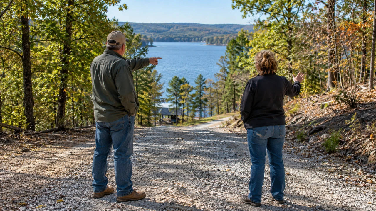
The Allens sought legal access across their neighbours' property to reach their land (AI image)
An Arkansas couple who paid their neighbours $8,000 for a road to reach their property have lost a court battle over where that road should be built. Connie and Delmar Allen could reach their land near Beaver Lake only by boat or by crossing their neighbours' property.
Although both families agreed to an 18-foot-wide access route in 2023, they later disagreed over its location. On Wednesday, the Arkansas Court of Appeals upheld a decision requiring the road to follow the neighbouring land's boundary.According to the court judgment, the disagreement involved two families living next to each other in Benton County. The Allens owned land without direct road access, while their neighbours, Catherine and Jeffrey Wyant, owned property between the Allens' land and Old Bill Evans Road.
The Allens wanted a permanent legal right to cross that land to reach their own property.The matter first reached court in March 2022. However, the neighbours managed to settle their differences before the case went to trial. Under their agreement, the Allens would pay $8,000 for an easement, which is a legal right to use a particular part of someone else's property. The Allens would also arrange and pay for a land survey to identify the route.
The payment was made, and the Wyants signed the necessary document. What appeared to be a settled matter soon turned into another disagreement. The families had different views about where the road should pass, and the survey carried out after the agreement brought those differences into the open.
Road survey led to another dispute
The problem began with the route marked out by the Allens. Their proposed road would start at Old Bill Evans Road and run northwest across part of the Wyants' property.The Wyants, however, said they had agreed to something different. They wanted the road to run west along the southern edge of their land, rather than cut through the property.Both sides referred to the agreement they had signed in 2023. It included a simple drawing showing the neighbouring plots and a line marking the proposed access route. The document also said that a proper survey would be prepared later to give the road a more exact description.The Allens believed the final location could be decided through that survey, while the Wyants maintained that the original agreement had already established where the road should go.With neither side accepting the other's position, the Allens returned to court in February 2024. They complained that the Wyants would not allow construction to begin and asked the court to enforce the easement. They also sought to have their neighbours held in contempt for refusing to cooperate.
Court supported the boundary route
The Benton County Circuit Court considered the different routes put forward by the parties. It ultimately selected the one running along the southern boundary of the Wyants' property and rejected the request to hold the neighbours in contempt.The Allens appealed, arguing that the decision was unclear. They also questioned whether the court had correctly interpreted the document granting them access.Their argument centred on the fact that the document called for a survey to establish the precise location of the road.
They believed this gave them greater flexibility in deciding how to cross the neighbouring land.The appeals court found that the original agreement and the accompanying drawing already provided enough information about the intended route. It said that the later survey was supposed to add details, not allow an entirely different road to be chosen.Also, the Allens discovered that building the road along the southern boundary would be expensive because of the slope of the land and drainage problems.
However, the judges said these difficulties did not invalidate the agreement.
What dissenting judge said
The ruling was not unanimous. Judge Brandon J Harrison disagreed with the majority and questioned whether, even if the Allens had a legal right to use the route, they could actually build a road there.In his dissenting opinion, Harrison pointed to a gorge measuring between 60 and 80 feet deep along the approved route. He argued that filling it would require considerable work and expense.Harrison also questioned the reliance on the original drawing. He believed it did not clearly identify an exact route and that the court should have considered whether the road would be reasonably usable for both families.Judge Stephanie Potter Barrett, who agreed with the majority, defended the decision. She said the dispute concerned an agreement the neighbours had already made, and the court's job was to interpret that agreement rather than select a more convenient route. The October 28 ruling thus leaves the Allens with their legal right to cross the Wyants' property, but only along the route approved by the court.
KioskNews shows a cleaned-up reading view extracted from the publisher’s page — the original always lives on their site, not ours.