Egypt completes detailed urban plans for two North Sinai cities
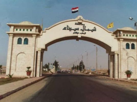
Minister of Local Development and Environment Manal Awad announced the completion of detailed urban plans for the cities of Nakhl and Al-Hasana in North Sinai Governorate, aimed at regulating urban expansion, optimizing land use and identifying future needs for roads and public services.
The move comes as part of the state’s efforts to improve public services and advance comprehensive development across the Sinai Peninsula, in line with directives from President Abdel Fattah al-Sisi.
Awad received a report from Said Helmy Abdel Khaleq, head of the Local Planning and Integrated Local Development Sector, outlining the completed plans and their role in regulating urban growth, guiding land use and establishing a framework for development in the coming years.
According to the report, the area designated for Nakhl is set to expand from 369 feddans to 1,251 feddans by 2037, providing a planning framework to accommodate projected urban and population growth and identify locations for activities and services needed to meet residents’ future requirements.
The detailed urban plan for Al-Hasana covers 403 feddans and defines land uses, traffic circulation routes and road networks to guide urban development and support orderly expansion.
Awad said completing the plans marked an important step toward improving urban planning in both cities by clarifying land-use designations and identifying requirements for roads and public services.
These measures, she added, would help improve living standards and create a more organized urban environment for residents.
She affirmed that the ministry would continue coordinating with relevant authorities and North Sinai Governorate to advance local planning and development, taking environmental and urban planning standards into account while supporting essential services and infrastructure, promoting economic development and creating job opportunities for local residents.
The minister explained that detailed urban plans are essential tools for managing urban growth, as they designate residential, commercial, service and industrial uses and establish main and secondary road networks. Such plans help curb unplanned expansion and unauthorized construction while ensuring that development takes into account residents’ current and future needs.
For his part, Abdel Khaleq stressed that the plans would help set priorities for urban expansion, identify infrastructure and service needs, improve land-use efficiency and guide development and investment in accordance with designated land uses and applicable planning regulations.
KioskNews shows a cleaned-up reading view extracted from the publisher’s page — the original always lives on their site, not ours.