Mapped: Where thunderstorms and heavy rain will hit the UK this week
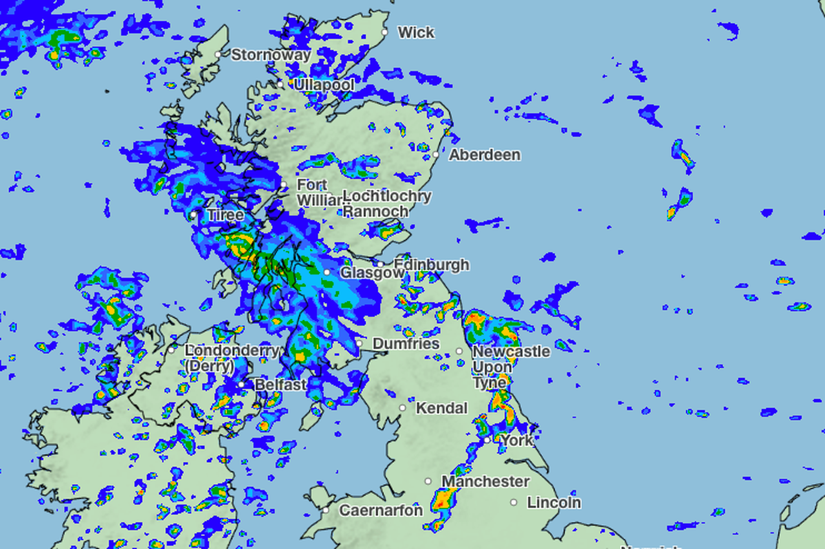
Thunderstorms and heavy rain are set to hit much of the UK on Wednesday with a risk of flooding for some parts of the country.
An “intense downpour” is forecast in parts of England and Wales, while Scotland and northern England could see hail, the Met Office said.
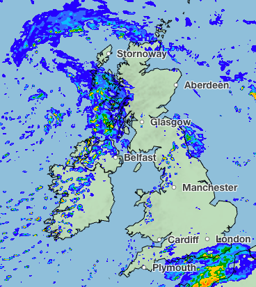
Meteorologist Clare Nasir said: “Today we start with cloud and some outbreaks of rain. We are likely to see some heavy pulses of rain coming in across western Scotland as well as Northern Ireland.
“Some higher rainfall totals are possible throughout the day across northern England as that rain extends southwards, bringing some welcome wet weather to central and southern areas.
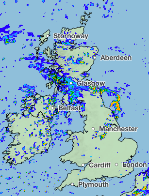
“Showers will continue across England and Wales and showery bursts of rain will move in across western Scotland and Northern Ireland. We could see some fairly impactful weather as we move through the morning.
“[On] Thursday morning, that low pushes down towards England and Wales.”
The Met Office is expecting higher rainfall on Thursday, with thunder, lightning, and hail across northern England. Showers are also likely across Wales and Northern Ireland, the Met Office said.
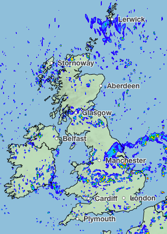
“Through Friday, a legacy of the showers continue across more southern areas, a few showers streaming in from the north, but the winds have lost their strength by this point,” Ms Nasir added.
As 27 million people are under water use restrictions, the news of wet weather may offer relief to some as England and Wales just experienced the driest July on record.
But the Met Office warned on Monday that heavy rain in areas suffering drought might not solve problems - it could instead bring issues of flooding.
“Many areas in England and Wales are desperate for rain, this week some of these areas will see the first meaningful rain for a long time,” said Mike Silverstone, the Met Office’s deputy chief forecaster. “Thursday will be a day of heavy showers across much of the UK, while some of these will be heavy, some areas will miss them altogether.”

“As some of these showers could be intense, there is a chance of some surface water flooding as the rain falls on very dry and hard ground.”
While the Environment Agency has issued no alerts or warnings for flooding, they have forecast that “local flooding is possible from surface water in the Northwest of England through Wednesday evening, and the North and East of England and the Midlands, on Thursday.
“Land, roads and some properties may flood and there may be travel disruption.”
Met Office five-day forecast
Today
Rain will soon clear from the far southeast of England, whilst gradually easing across northern Scotland. Otherwise Wednesday will bring sunshine and showers. Showers locally heavy, especially in the north where hail and thunder possible. Generally cooler than of late.
Tonight
There will be a mix of clear spells and showers overnight, the showers heaviest and most widespread across northern England and north Wales. Chilly in some rural parts of Scotland.
Thursday
Thursday will be another day of sunshine and showers. The focus for the heaviest showers will transfer south to England and Wales. Thunder possible. Feeling cool in the northerly breeze.
Outlook for Friday to Sunday
Sunshine and showers on Friday, though showers gradually easing. A cool northerly wind. Becoming mostly fine this weekend with sunny spells. Isolated showers at first. Patchy rain in north later.
KioskNews shows a cleaned-up reading view extracted from the publisher’s page — the original always lives on their site, not ours.