Parts of UK to roast in 27C weather on Tuesday before rain and wind move in
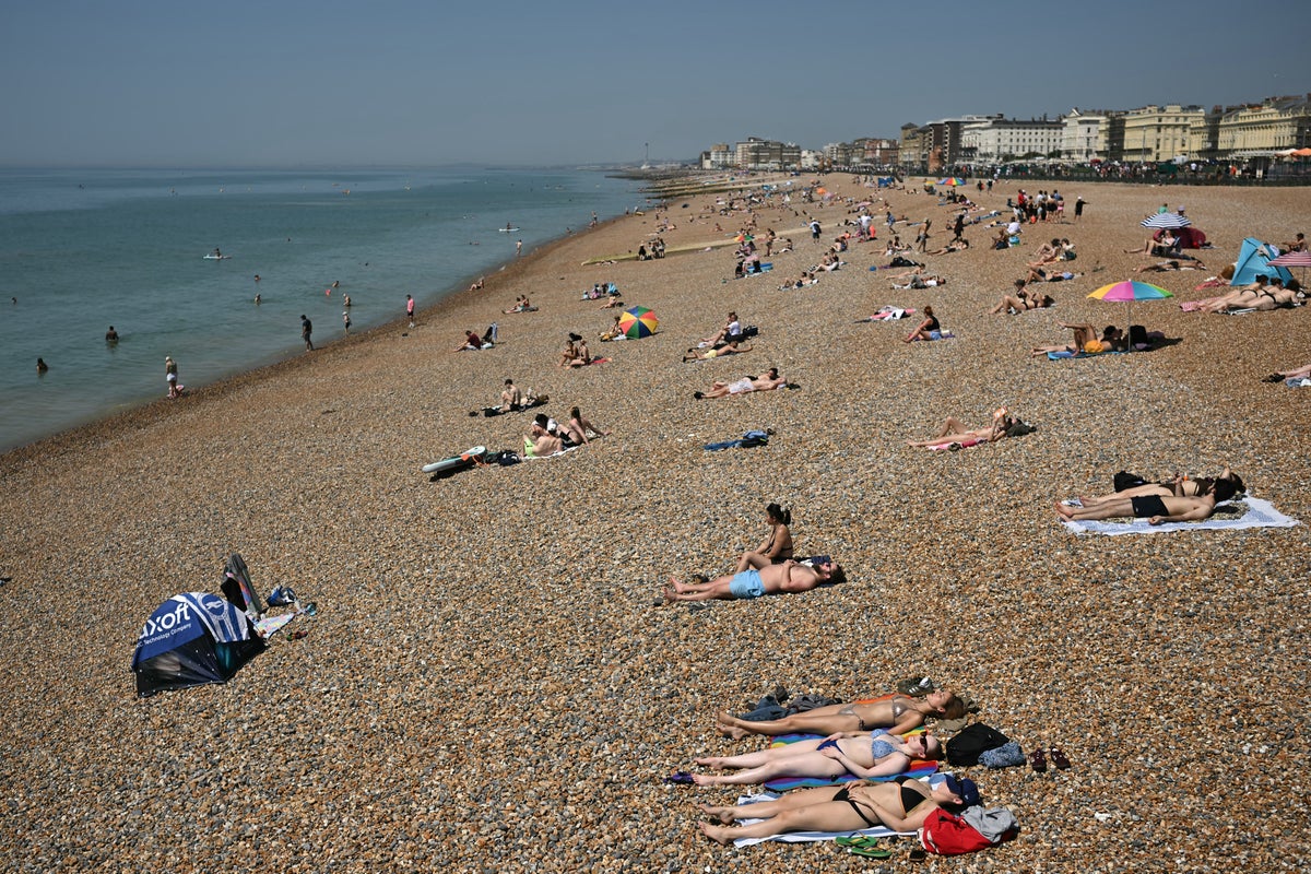
Parts of the country are expected to see “notably warm” weather on Tuesday, with a high of 27C on the cards.
But people are being warned to enjoy it while it lasts, with rain and wind moving onto the country later in the week, Met Office forecasters say.
The south and southeast of England will see highs of between 25 and 27C, with London at the hotter end of the scale.
The “remarkable” temperatures will be caused by a low pressure system in the Atlantic, bringing warmer air from Europe.
However, a weather front which will gradually move from west to east late on Tuesday and into Wednesday promises much more unsettled weather.
Met Office spokesperson Stephen Dixon said that Tuesday’s expected high is “notable for this time of year” and will feel “fairly unseasonable for many”.
He added: “By later on Tuesday evening, we start to see the arrival of rain to western areas, where some western upslopes could see rainfall totals of between 20 and 30mm of rain.
“Particularly thinking about areas to the south west of England, parts of Wales, Northern Ireland, and Scotland, that front of rain will gradually move eastwards Tuesday night and into Wednesday.”
Mr Dixon said that the temperature will remain “fairly high” on Tuesday night into Wednesday, with a minimum of 19C in some places.
He added: “An overnight low of 19C again would be notable for the time of year and could feel a touch uncomfortable for some, particularly as we’re in late September.”
He said that many areas of the UK will see rain on Wednesday, adding that it’s going to be a “fairly wet and blustery day for many”.
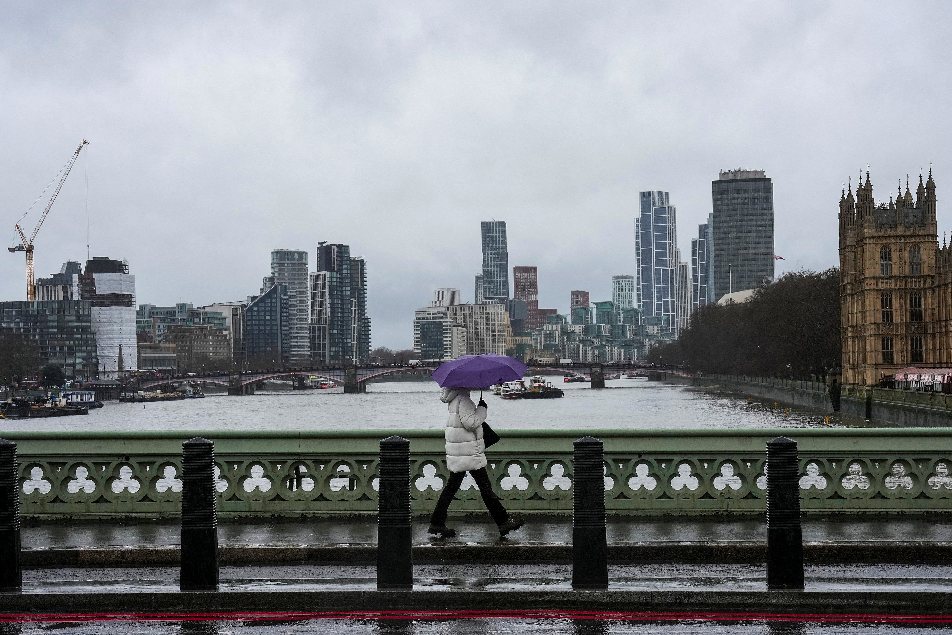
Mr Dixon added that gusty winds are possible and that there is a chance of “some very large waves for some western coastal areas”.
Around 10mm of rain is expected in some places, with in excess of 40mm possible in some spots. Gusty winds of more than 50mph are possible.
Thursday and Friday will be days of “sunshine and showers” and “mixed conditions”, Mr Dixon added.
Higher pressure will build in the UK over the weekend bringing more settled conditions.
The Met Office said on X that the week promises “remarkable temperatures, big waves and a bit of heavy rain too”.
While there has been speculation that Britain could see its first named storm of autumn this week, this is unlikely.
KioskNews shows a cleaned-up reading view extracted from the publisher’s page — the original always lives on their site, not ours.