Storm to break south-east dry spell with more rain on the way
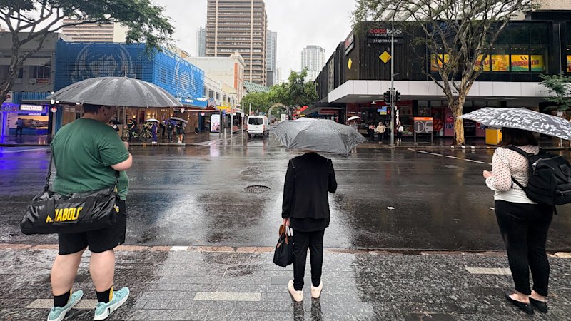
Residents across south-east Queensland are preparing for a “dynamic” weather shift with severe thunderstorms predicted across the region on Tuesday, following an extremely dry September across the entire state.
Patchy, light rain was possible across inland parts of Queensland, including through the Darling Downs and into the south-east on Monday, before shifting on Tuesday afternoon, the Bureau of Meteorology said.
“For the first time this spring, we are looking at potential for a decent sized storm outbreak in Queensland,” senior meteorologist Angus Hines said.
Areas likely to be hit by severe thunderstorms include Brisbane, Gold Coast, Sunshine Coast, parts of the Burnett Region and west towards Toowoomba.
Hazardous weather conditions are also possible, with the bureau warning of the potential for damaging wind gusts, large hailstorms above two centimetres and flash flooding.
“Not everyone will probably pick up a storm tomorrow,” Hines said. “But the areas that do, it’s certainly going to … bring some pretty disruptive weather.”
The possibility of rain is welcome news for Queenslanders following an “extremely dry” September, with the state recording only 1.4 millimetres of rain for the entire month.
Tuesday’s storm wasn’t expected to fill the gage, but suburbs directly impacted by the system will enjoy a short, heavy downpour.
“Unfortunately, when it comes to rainfall, some places who have been really dry will get a good soak of rain,” Hines said.
“For some it might it too much too fast, and for others, you probably won’t get as much as you’re looking for.”
Australia and the Pacific Ocean is currently in the grip of a strong El Nino weather pattern, the bureau said, which many people assume means only dry weather or a drought season.
Hines said this is not always the case, with current modelling showing a high chance of above-average rainfall for south-east Queensland and other parts of the state in coming months.
“We don’t have summer long-range forecasts … but we have got an elevated chance of above-average rainfall in a large part of Queensland over this coming three-month period,” he said.
“El Nino doesn’t always lead to drought … [but it does] tend to bring elevated heat … [and] push the average temperature then above and beyond a typical summer.
“So every chance we’ll be dealing with a pretty hot burst of weather [in coming months], but maybe that’ll be hot and muggy and sticky as opposed to hot and dry.”
The Bureau said showers are possible on Wednesday and Thursday, though Tuesday remained “the most dynamic” weather day.
Start the day with a summary of the day’s most important and interesting stories, analysis and insights. Sign up for our Morning Edition newsletter.
KioskNews shows a cleaned-up reading view extracted from the publisher’s page — the original always lives on their site, not ours.