Olongapo rivers swell anew, residents urged to evacuate
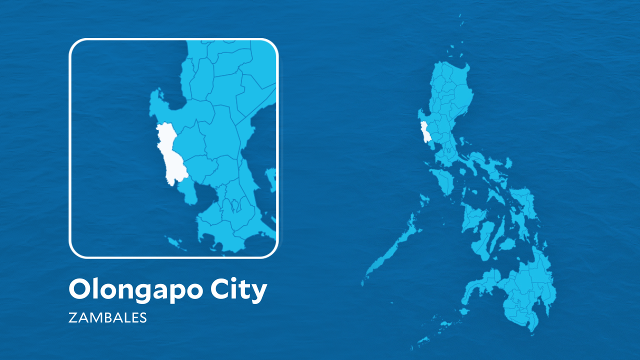

SAN ANTONIO, Zambales — The water level of a river beneath Sta. Rita Bridge in Olongapo City reached its evacuation level on Friday as rising waters also put two other bridges in the city at critical levels.
As of 9:40 a.m. on Friday, water at Sta. Rita Bridge stood at 3.2 meters, which breached the evacuation threshold, according to data from the city disaster risk reduction management office.
READ: Pagasa: Habagat still affecting Luzon; fair weather in Visayas, Mindanao
Article continues after this advertisement
The water level at Del Rosario Bridge was at 2.9 meters, while Kalaklan Bridge recorded 2.7 meters. Both bridges were classified as critical.
FEATURED STORIES
NEWSINFO
NEWSINFO
NEWSINFO
Water levels had been moving between warning and critical levels since early Friday morning.
The latest monitoring came amid continued rains in the city, with authorities keeping watch over waterways and flood-prone areas.
Based on the tide forecast, low tide was expected at 5:37 p.m. Friday at 0.23 meters, while high tide was forecast at 12:01 a.m. on August 29 at 0.58 meters.
Residents in low-lying areas were urged to remain alert and follow advisories from local authorities. /coa
KioskNews shows a cleaned-up reading view extracted from the publisher’s page — the original always lives on their site, not ours.